The Highlights of Northern Iceland
Northern Iceland is one of the most diverse parts of Iceland and one of the most explored. Even if Northern Iceland might sound cold, the truth is that the temperatures are some of the mildest in the country.
You would not expect that from a territory that is so close to the Arctic Circle and even on the Arctic Circle like Grimsey Island but Northern Iceland is full of surprises.
The area of superlatives where you will find the second most populated urban area in Iceland, the only Icelandic territory that is on the Arctic Circle, the most powerful waterfall in Europe, a unique spa, one of the most powerful volcanoes in Iceland, unique volcanic formations and lots of incredible places.
There are so many places to explore in Northern Iceland that it might be overwhelming to choose the ones that are a must-see. So I have put together a mini-guide with some of the most interesting places to see in Northern Iceland that might help the explorers.
I also create a map with the exact location of every place I am going to talk about in this blog.
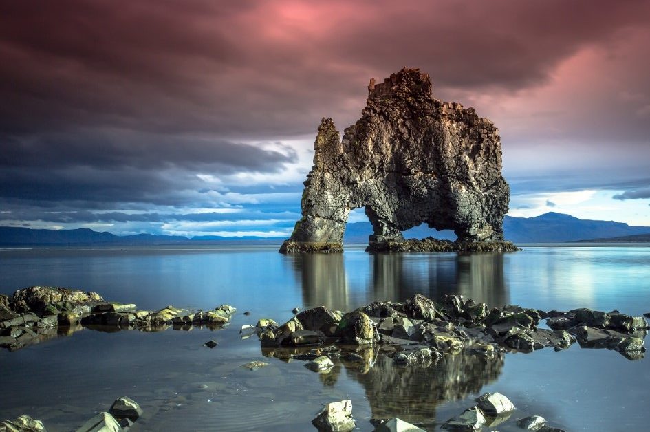
Going clockwise from Reykjavik to Northern Iceland on the Ring Road if you are driving, the first stop is Hvítserkur. On Northwest Iceland, along the eastern shore of Vatnsnes Peninsula stands tall a basalt rock formation close to Húnaflói Bay.
Hvítserkur, a 15-meter-tall basalt island resembles a dragon or rhino. Its name means “white shirt” and was given from the birdlife that nests on the rock. The species of birds that nest there are seagulls, shag, and fulmar.
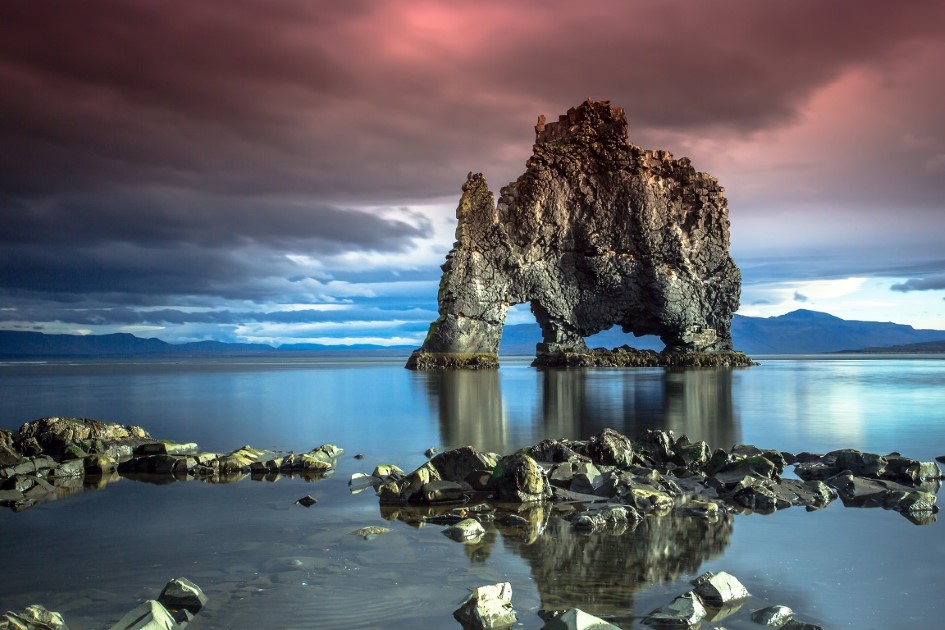
In the local folklore, the small basalt island of Hvítserkur was langsyne a troll from the peninsula. Trolls are said that be terrified of Christianity so this troll was determined to destroy the bells from Þingeyraklaustur monastery.
In Icelandic folklore, if a troll gets caught in the sunlight it petrifies instantly. So happened to the Hvítserkur troll and it was petrified for eternity.
A scientific explanation of how Hvítserkur formed says that the seawater sculpted three holes into the rock and now it appears to look like a mythological animal.
Near Hvítserkur, on the Vatnsnes Peninsula, is the best place in the country to see seals. There is also the Icelandic Seal Centre in the town of Hvammstangi where you can learn everything about the seals and how they influenced the Icelanders and the folklore.
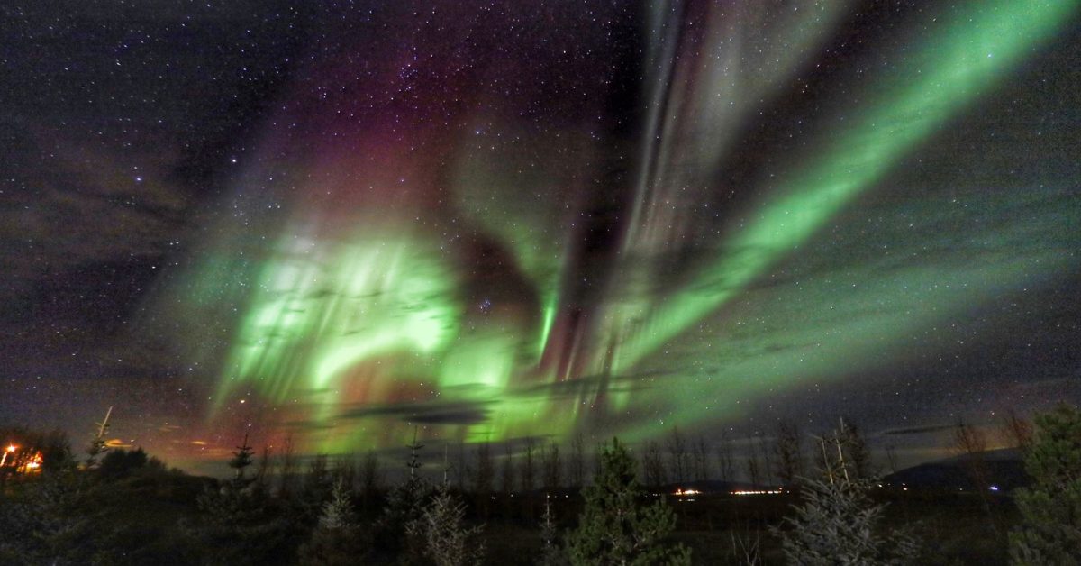
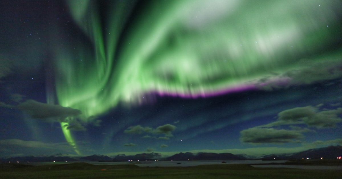
Moreover, Hvítserkur is also a favourite place for photographers. The way the northern lights, sunset, and sunrise are seen from this place makes the place unique and a must-see place for photographers.
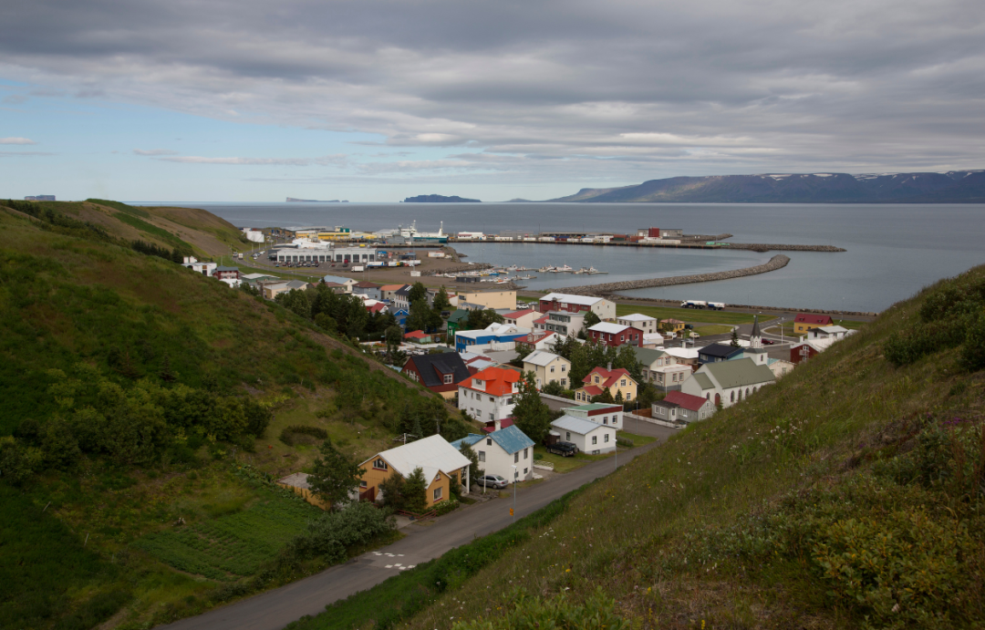
The next stop along the Ring Road is Skagafjörður that is one of those fjords located in North Iceland with an agricultural tradition and rich history.
The rural life from the 18th and 19th centuries from Skagafjörður is pictured at Glaumbaer Museum.
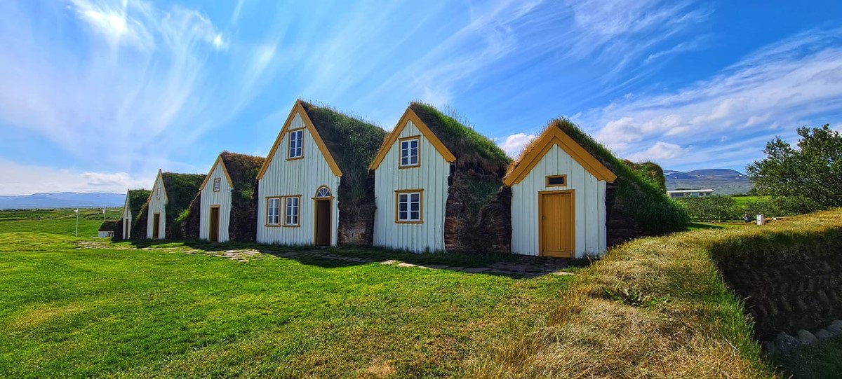
Skagafjörður is also the place where one of the five major civil wars from the 13th Century was fought. The war was held between dominant families from the area who did not solve their problems at the parliament of Þingvellir.
The war was sustained by the King of Norway as he wanted to colonize Iceland which he succeeded and for the next seven centuries, Iceland was under colonial rule.
Also, the civil war ended once Iceland became colonized.
The nature around the fjord will impress you with its simplicity. In the fjord, there are three islands best known for their wildlife richness. Drangey, Malmey, and Lundey are the islands and each of them has its charm.
In the fjord, you will also see whales during the summer as the Northern part of Iceland is the place where whales are most abundant in the breeding season. Sauðárkrókur is the largest village in the fjord.
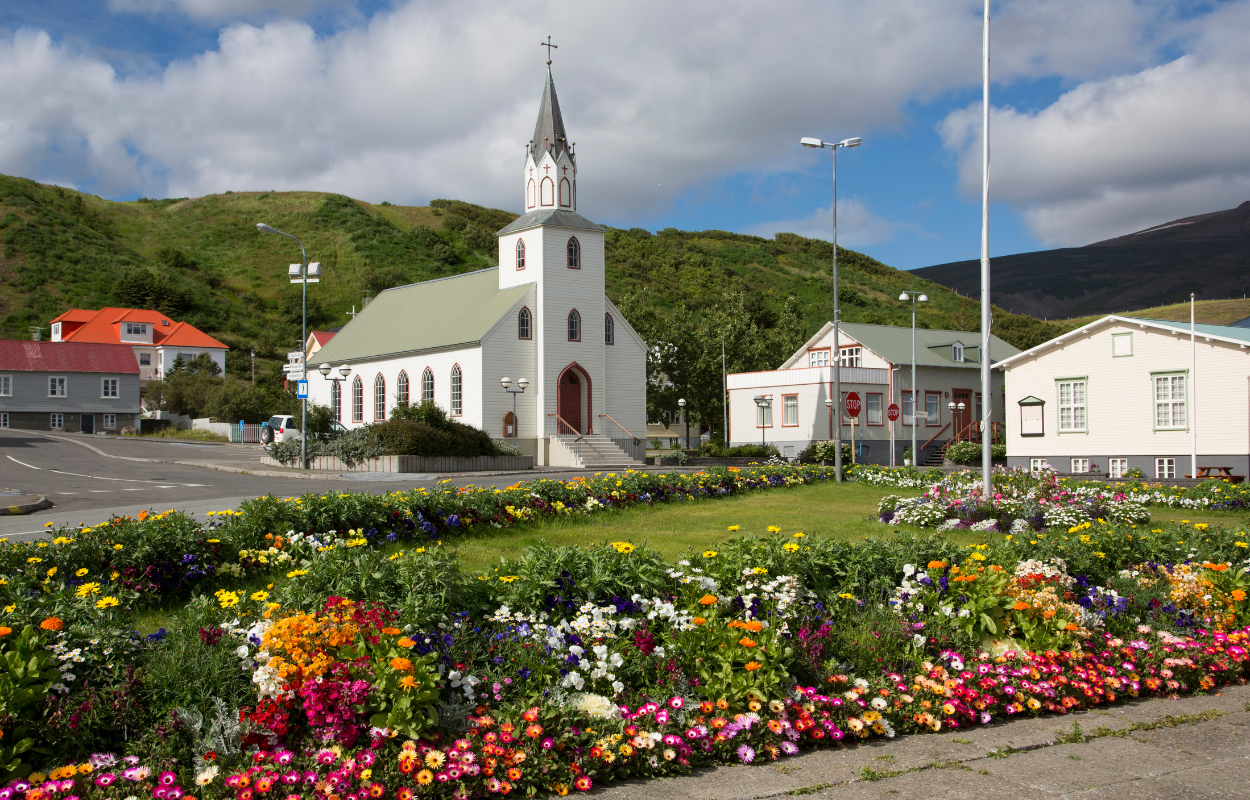
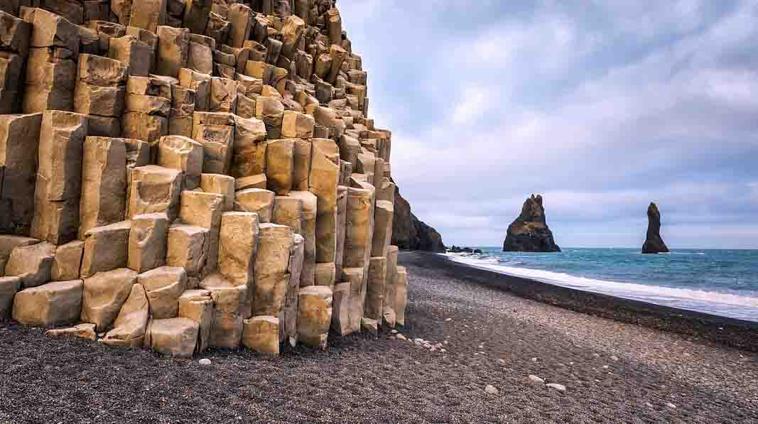
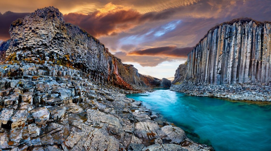
A geological masterpiece from the fjord is Þórðarhöfði which is a cape of an old volcano with impressive basalt columns on the cliffside.
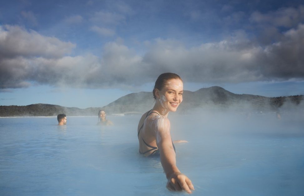
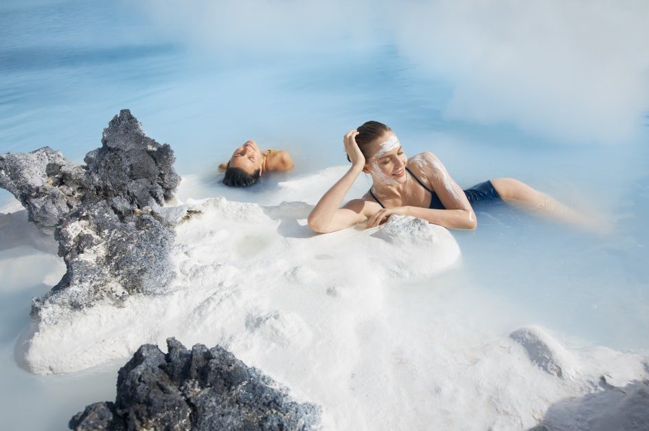
The next stop is a must! You will experience a unique spa in Iceland. There are fewer places in the world where you can enjoy a beer spa so if you are in Iceland you have to go to Bjórböðin SPA which is located in Árskógssandur in the north of Iceland.
There you will soak away the stress of modern life by relaxing in a bath of warm beer. Beer yeast is used in various ways, the most common is a tablet form where the effects of the yeast are very benefitting.
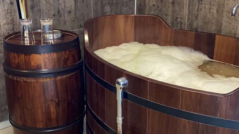
A beer bath, where you bathe in both young beer and live beer yeast, without showering it off until some hours later, has an extremely powerful effect on the body and skin.
This treatment is cleansing for the skin and has a very positive effect on health. Check our website and get your ticket.
After you had the most interesting experience bathing in warm beer, you can stop overnight in Akureyri, the second largest town in Iceland, and then explore the town and find out about its interesting history.
Akureyri is the second-largest urban area in Iceland after the Reykjavik area and the most important trade and services centre in Northern Iceland. Is located in one of the longest fjords in the country and has a population of approximately 19 000 people.
Despite its Nordic location, the climate at Akureyri is mild with medium temperatures around 25°C during the summer and medium temperatures around 0°C during the wintertime.
The Arctic Circle is 60km from Akureyri town although the Grimsey island which is considered arctic territory is under the Akureyri municipality administration.
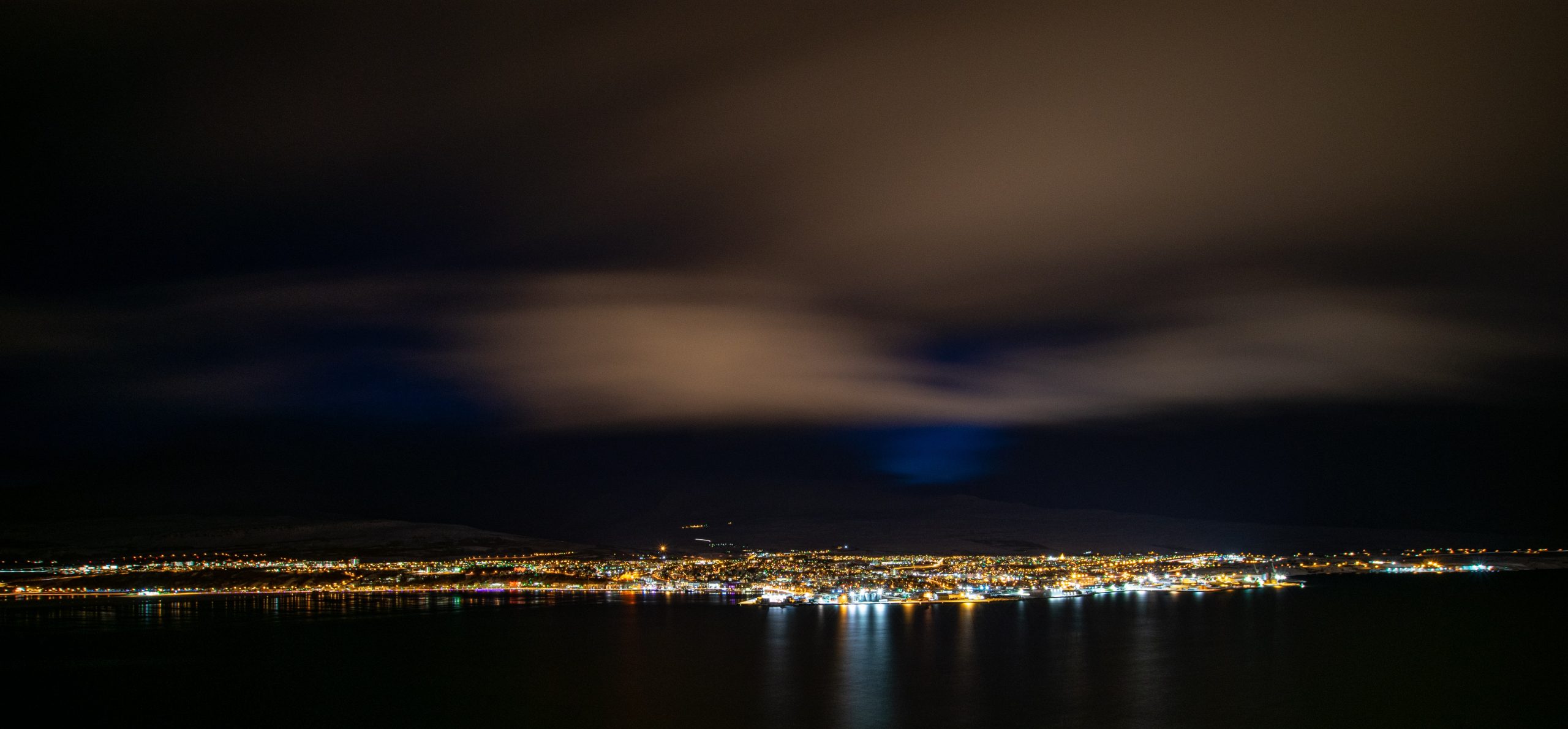
Akureyri is also a popular tourist destination and an important cultural and educational centre as well. There are many museums, a botanic garden, the best skiing area in the country as many people say, hiking trails amazing views over the fjord.
Also, there are a lot of restaurants, cafes, accommodations, and activities that tourists can do in Akureyri.
The town of Akureyri has a rich history that led to what is the town today. Íslendingasögur or the Icelandic Sagas have all the stories and details about settlements in Iceland and Akureyri is no exception.
According to the Landnámabók, the area was settled by an Irish Viking named Helgi Magri Eyvindarson. The reasons he travelled to Iceland are unknown but the way he has chosen the place of landing in Iceland was in the traditional Norse manner that consists in throwing two wooden pillars overboard.
He came to Iceland with his wife Thorunn Hyrna, in 890 AD. Helgi Magri Eyvindarson was a devoted Christian but he was known to put his faith in the Thor the Norse God of Thunder.
The legends say that Helgi stayed almost 7 km from the actual location of Akureyri but is recognized as the person who settled the area and the founder of Akureyri.
Akureyri started to be settled permanently in 1778, until then, in the 16th century many buildings in Akureyri were owned by the Danish merchants as Iceland was subject to the Danish Crown.
The town gained its official trading title in 1602. Those merchants were not in Akureyri all the year, during the winter they returned to their home country. That is why the town of Akureyri was not settled permanently until 1778.
In the same year, the first house was built there. The town of Akureyri was used as a base for the Danish merchants for almost 200 years.
The town received its municipal character in 1786 after the Danish king wanted to improve living conditions in the area for the Danish merchants. He introduced farming techniques and agricultural habits improving the soil condition in the area.
But even with all those efforts, the area of Akureyri was not populated by many people so the king decided in 1836 to revoke the settlement’s municipal character.
The town was settled again almost 30 years later in 1862 and it was the moment when Akureyri started to grow for real. The agricultural activities were retaken and so life in the area was easier to sustain for the workers and their families.
Also, the fishing and fishing trade was another factor of growth and development in the area.
The modernization of the area started after the presence of foreign troops during the World Wars and since then the town has grown to what it is today.
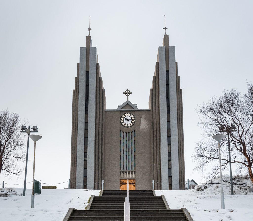
There are a lot of museums where you can learn about Akureyri’s history. Also, the architecture of the buildings, the Akureyrarkirkja together with the street art and the local atmosphere is a must while in Akureyri.
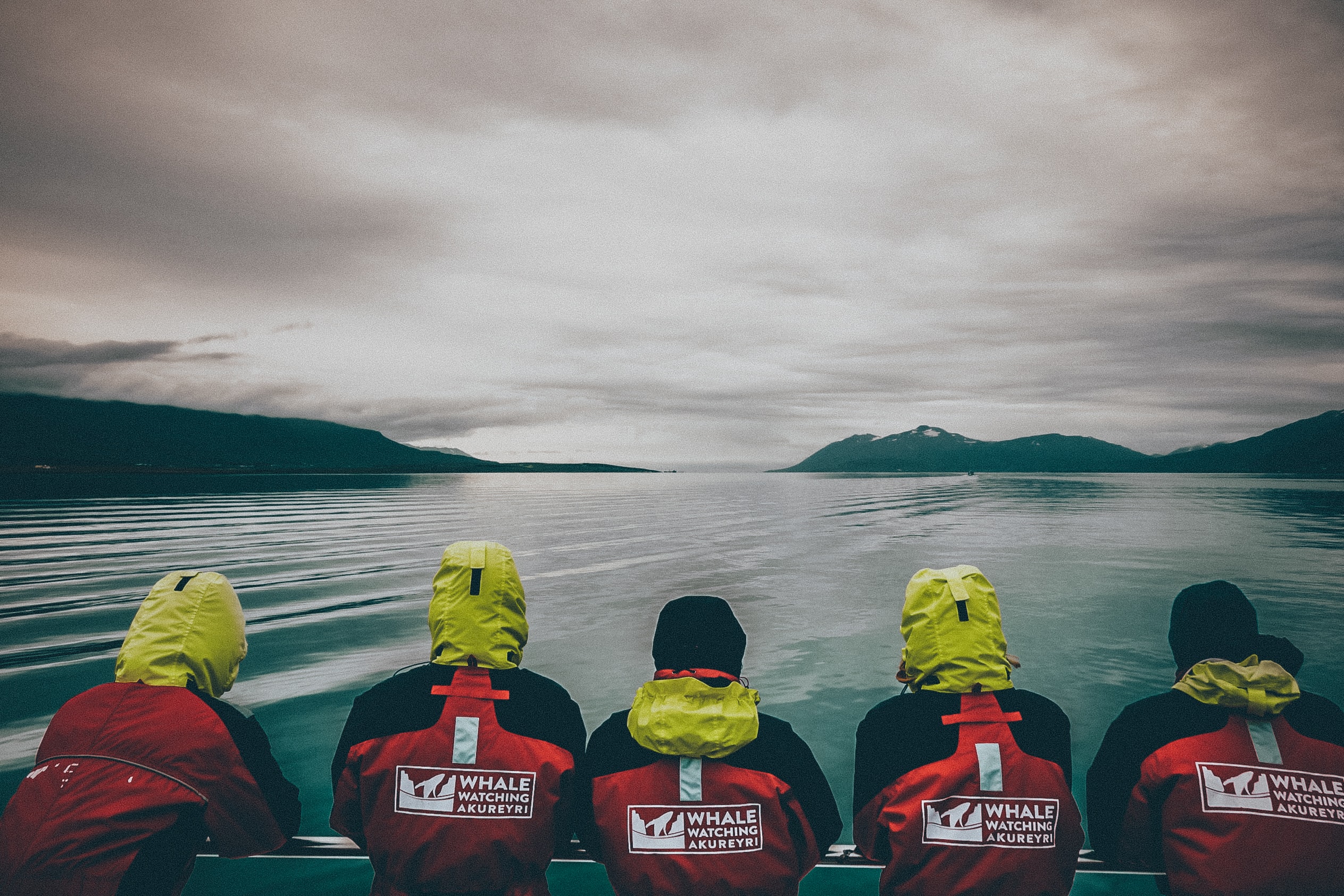
You can do some exciting activities like hiking, whale watching, puffin watching, or enjoying festivals, the nightlife, the botanic garden, and nature with all its wonders.
As a cute fact, you can also enjoy seeing the heart-shaped lights of traffic lights in Akureyri.
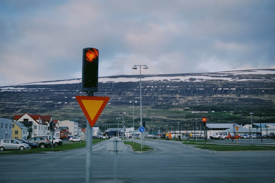
After exploring beautiful Akureyri, you can take the ferry to Grimsey Island.
From Akureyri, you can go on a trip to the only Icelandic territory that is on the Arctic Circle: Grimsey Island.
The island is a part of Akureyri municipality and is off the north coast of Iceland. On the island are living approximately 100 people in a village called Sandvík.
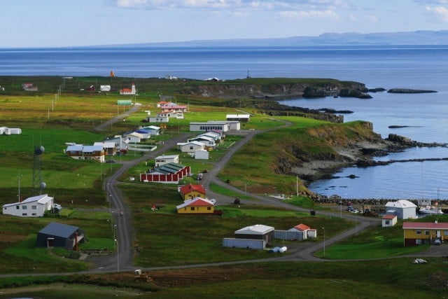
As most of the coastal towns in Iceland Grimsey also grew economically through fishing activities, especially commercial fishing.
The waters around the island are very rich in fish and there is also a renovated harbour where the economic activities happen.
During the past years when tourism started to grow in Iceland, the little island also diversified its economic activities and started to receive tourists who wanted to fill their passports with a stamp that shows they reached the Arctic Circle.
Of course, this is not the only reason tourists are visiting Grimsey Island.
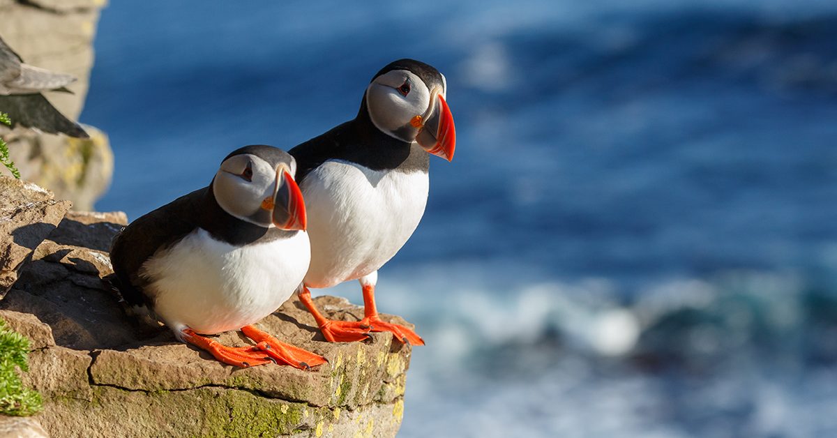
The wildlife including birdlife and marine life is at the most abundant there during the summertime. Bird lovers can see not only the Atlantic Puffin but tens of species of birds including Black-Legged Kittiwakes, Auks, Razorbills, Thick-Billed Murre, and Northern Fulmar.
Also, on the ocean waters around the island, you may spot different species of whales during the summer.
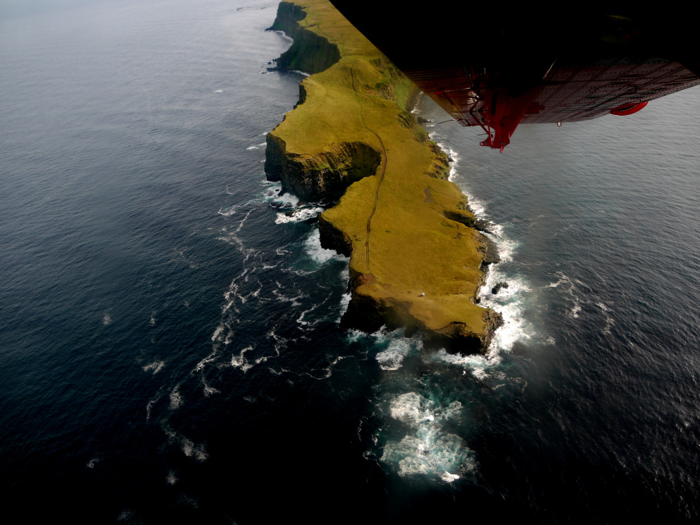
Despite its small dimension and remote location, the community there has the amenities they need: restaurants, cafes, accommodations, an airport, a wooden church, a school, and a community centre.
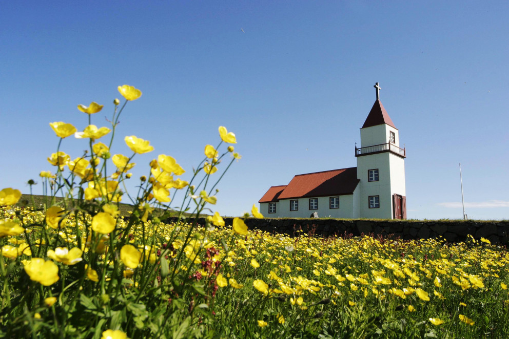
The wooden church in Sandvík has an interesting history. The first church was built in the 11th century by the Icelandic Catholic bishop, Jón Ögmundsson but in time the church was destroyed.
In 1867 a new church was built in a very interesting way with the wood pieces that have washed ashore. Later in 1923, the church was renovated. Another interesting fact is that inside the church there is an imitation of a Leonardo Da Vinci painting which was painted by a local artist.
The church is the most northern in Iceland and it sits on a site called Miðgarðar according to the legislation of ancient buildings, it gained its conservation status in 1990.
To mark the location of the island on the Arctic Circle, people built a monument that consists of an eight-tonne sphere of stone.
Because the Arctic Circle does not have a stable position and is moving, they have chosen to make the monument in a sphere form to represent its moving position.
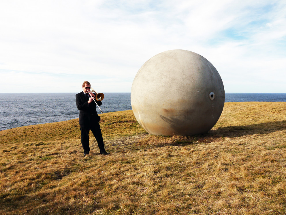
Also, because of the moving position of the Arctic Circle, it is said that Grimsey Island will not be in the Arctic Circle in the future.
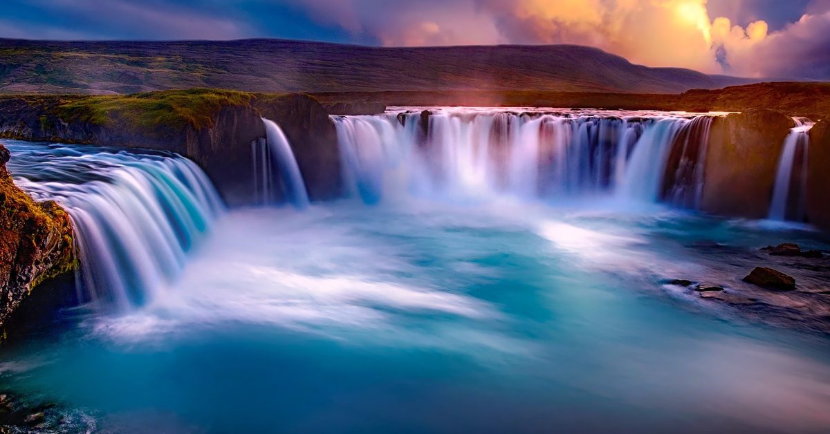
Located almost near the Dettifoss waterfall, Goðafoss is located on the fourth largest river in Iceland, Skjálfandafljót.
It is considered one of the most spectacular waterfalls in Iceland with a height of 12 meters (39 feet) and a width of 30 meters (98 feet).
The name of the waterfall means “waterfall of Gods” or the “waterfall of Priest” and its history is centred around the Old Norse religion.
History says that back in time, in the 9th and 10th centuries, the majority of the settlers of Iceland were Norwegians who followed the Old Norse religion.
After the Commonwealth was established in 930 AD, the pressure of converting to Christianity that came from Europe was felt also by the settlers.

To prevent the Norwegians from occupying the whole country, the Icelanders wanted to decide about the religion they would accept for their country.
At Þingvellir, a year-long meeting was held to discuss the problems of the country, there was founded the first parliament in Iceland in 930 AD. To solve this issue, the responsibility of making the decision was given to the Ásatrú priest (or goði) Þorgeir Ljósvetningagoði.
The legend says that he lay under a fur blanket for a day and a night and prayed to his Old Gods to make the right decision. After that, he came and decided that for the good of the people, Christianity would be the official religion of the country but the pagans could practice their religion in private.
After his decision, he returned to his home in North Iceland, and to symbolize that he would continue to believe in his Old Gods, he threw idols of the Old Gods into the beautiful waterfall that is named today Goðafoss waterfall.
Like Dettifoss, Goðafoss waterfall is also located on the Diamond Circle, in North Iceland on the Ring Road route. Both waterfalls mentioned are located close to each other.
Goðafoss waterfall can be reached throughout the year, but during the wintertime, you will need a four-wheel-drive vehicle.
If you want to see a moon-like relief then stop at Skútustaðagígar which is the name of an area with some crater-like formations in the North of Iceland in the Lake Mývatn area.
They are not considered volcanic craters as there was no lava coming out of them.
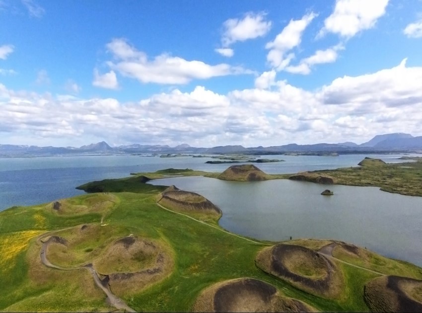
The craters were formed by the steam accumulated in the ground during a volcanic eruption nearby. The lava ran from the volcano and came across the Skútustaðagígar area which was a wetland back then.
Then the hot steam from underground caused an explosion which resulted in the crater-like forms we see today.
As you are in the Mývatn area, you can go see the lake and it is the fourth-largest lake in the country. The Mývatn area sits on the Mid-Atlantic Rift and is near the Krafla volcano site so it is a volcanic site itself.
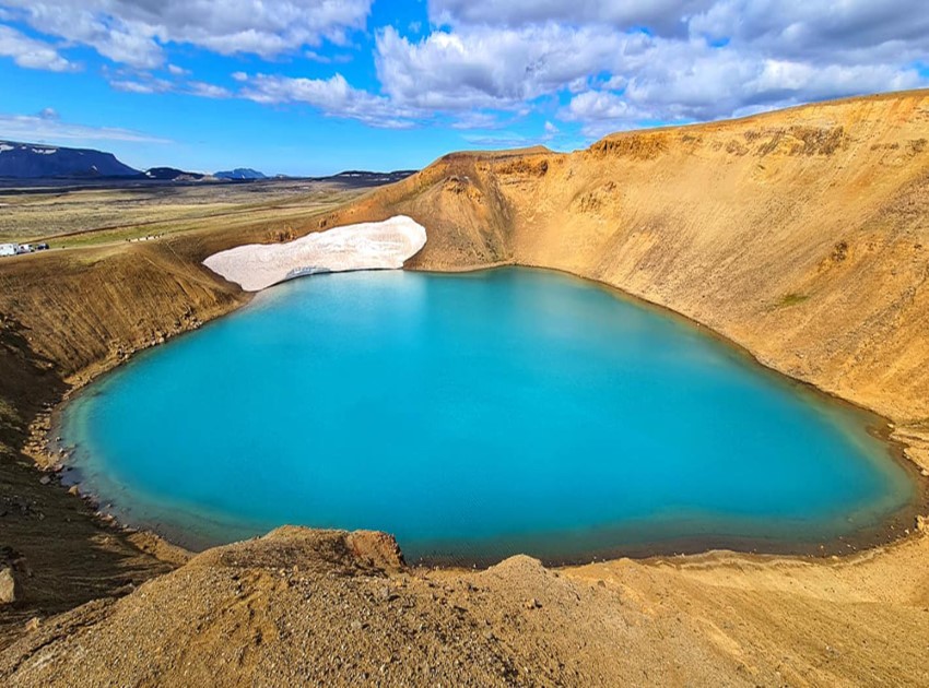
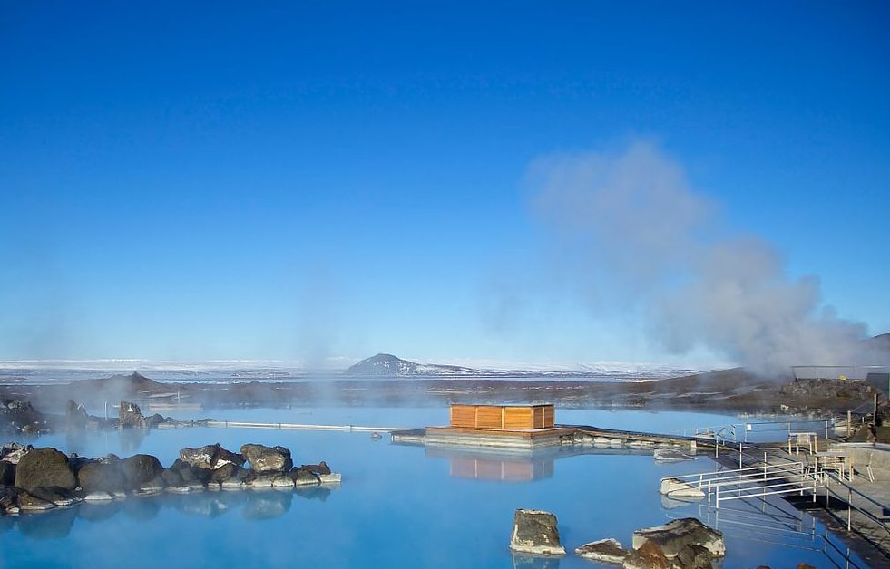
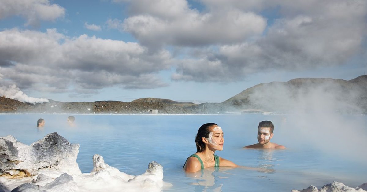
Mývatn area is best known for its geothermal waters which means there are geothermal pools that you can enjoy.
The Mývatn geothermal baths are the best place to relax your mind and body after you visit the whole site.
Check Mývatn Geothermal Baths for more.
The volcanic relief at Mývatn is different as there are tiny islands with pseudo-craters that formed after some steam explosions, and basalt columns rising tall from the earth after the lava was cooled rapidly.
You will not only find the lake, volcanic relief, and geothermal baths but also many bird species, especially ducks. Thirteen species of ducks are nesting in the area and the most popular is the harlequin duck.
There are also a lot of voles, mice, and rats as there are a lot of plants and vegetation that make the perfect environment for them to live in.
The Mývatn area is a flooded area where you can find a rare species of algae that lives at the surface of the water named “Marimo”. This alga looks like tiny balls of moss and they are found in just a few places on Earth.
The volcanic relief at The Mývatn area inspired the producers of the “Game of Thrones” who have chosen the location to film some scenes.
In The Mývatn area, there is also an interesting place that is worth visiting.
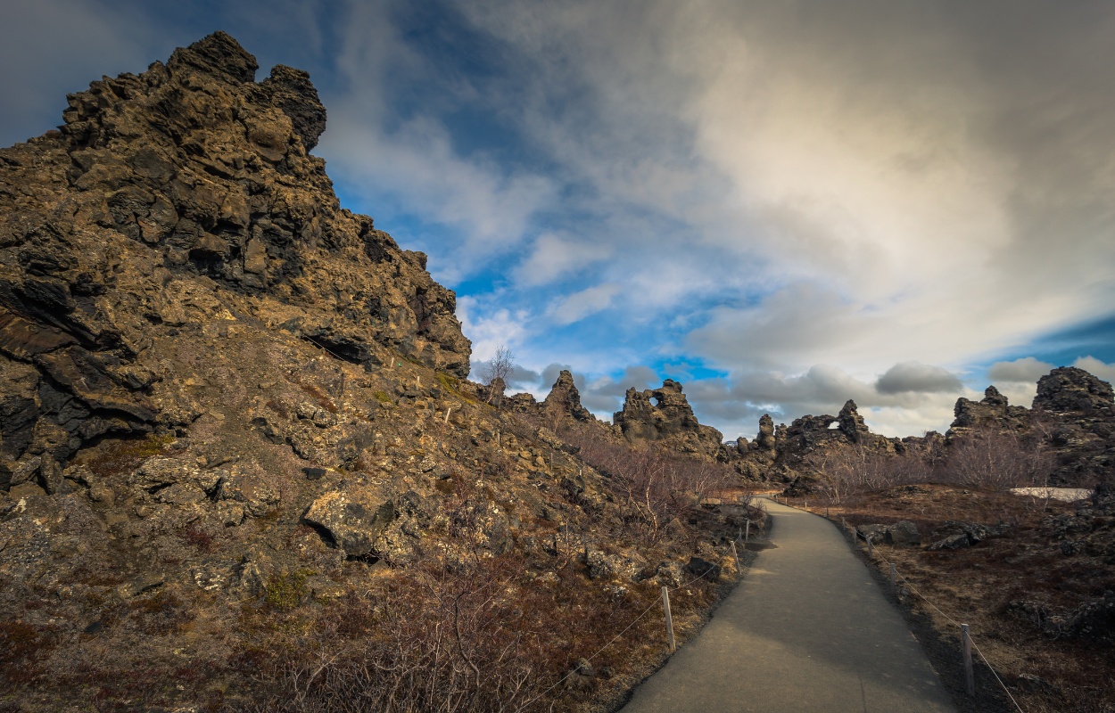
Dimmuborgir is a geological site located in the north of Iceland, more specifically in the Lake Mývatn area and it is an expense of a lava field. It formed after an eruption occurred in the area about 2,300 years ago. The entire Lake Mývatn area is volcanic.
During the eruption that happened 2,300 years ago, the lava flowed over the lake making the water inside boil. This process made the lava cool and the hot steam shaped different forms throughout the lava.
After the eruption stopped and all the lava became solid the Dimmuborgir area was full of rock stacks, caves, and caverns sculpted inside the rock formations. The impressive formations attracted the directors of the “Game of Thrones” series and they filmed there some scenes.
Because of the look of the rock formations, many people resemble the area with a medieval castle.

It can be an unwritten rule but every rock formation in Iceland needs to have a folkloric story linked to it.
And since there are a lot of rock formations in the Dimmuborgir site, the folkloric story is as interesting as the landscape.
Icelandic culture links the lava caves as being the homes of the trolls and in this area, it is believed that a famous Icelandic troll is living, not else but Grýla.
Grýla is a half-troll, half-ogre creature who lives in the Dimmuborgir site with her husband Leppalúði. In Icelandic folklore, Grýla has a huge appetite for children together with her gigantic pet cat.
The story says that, during the Christmas period, Grýla and her cat would eat the children for not getting any clothes. This story was created in the past to encourage children to finish their weaving, knitting, and sewing tasks before the cold winter season begins.
Also, the story says that Grýla and Leppalúði had thirteen sons and they all lived together in the Dimmuborgir site. Their sons are now known as the “Icelandic Santa Clauses” or Yule Lads as they say in Iceland.
Like their mother, her thirteen sons are terrorizing Icelanders before Christmas and each of them came in different nights into the Icelanders’ homes with different strategies from where they also got their names.
For example, Skyr-Gobbler would come into Icelanders’ homes and steal and lick all the house supplies of Skyr.
The story was modified over time and all the Yule Lads, are not only stealing the Sky or harassing the livestock but nowadays they are also bringing gifts for children.
Other stories about the Dimmuborgir site appeared during the Christianisation period of Iceland and people said there is the place where Satan landed when he was banished from Haven and where he created Hell.
Whatever will be the story behind it, the area of Dimmuborgir looks out of this world and worth visiting while in the North of Iceland.
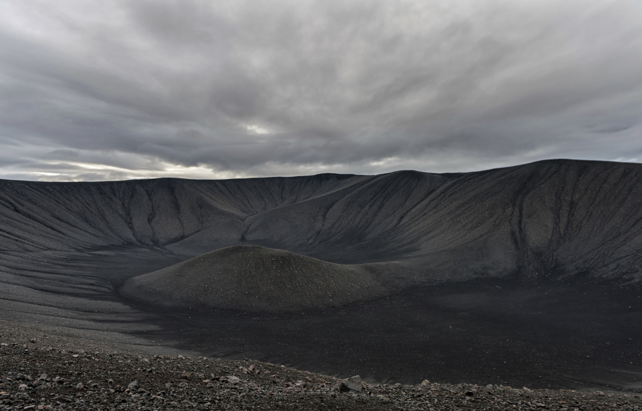
Also in the volcanic area of Mývatn, there is the Hverfell crater with a one-kilometre diameter and 140 meters depth it is one of the largest explosion craters in the world and a gem for geologists.
There is a hiking path to the crater and if you are going to hike there you should take care of nature around as it is very fragile.
The crater was formed by a massive explosion at or near the surface of the Earth then the natural erosion of the wind and rain led to the form that it is today.
The eruption of the Hverfell crater that happened 3000 years ago was a major event not only in Iceland but across Europe.
Iceland was not inhabited by that time but the eruptions that happened in the area caused massive ash clouds that covered the sky over Europe and lowered the temperatures. This led to an agriculture crisis and river poisoning.
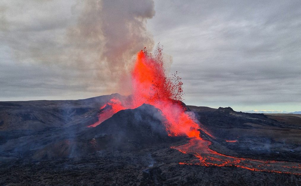
Near Hverfell there is also the crater of one of the most powerful volcanoes in Iceland which is part of a volcanic area with the same name. Krafla is a special volcano as is one of the most explosive volcanoes in Iceland.
It is 818 meters high and its crater has about 10 km in width. It erupted about 29 times since Iceland was settled and its fissure zone is about 90 km long.
Of all the eruptions that happened at Krafla, two of them were significant. Do not mistake Krafla with Katla which is in the South of Iceland near the town of Vik.
The first major event from one of the eruptions was called The Mývatn Fires and the eruption happened along the almost whole fissure and lava was spread in the air so high that could be seen from the Highlands on the Southern Coast.
The Mývatn Fires eruption lasted for five years from 1724 to 1729. There were no direct victims of this event but there were three farms that were destroyed.
The second significant eruption event happened between 1975 and 1984 when nine separate eruptions blocked the area and limited the accessibility to services and tourism in the area. The entire area changed after the eruption.
The frequent eruptions from the area determined people to use this power as renewable power and a power station was set up right during an eruption in 1977. The power station ensured green energy for the northern area of Iceland. The last time Krafla erupted was in September 1984.
Krafla area can be visited now and it is very close to Lake Mývatn.
North from Krafla, along the Skjálfandi Bay, “Where the mountains sing through the screams of seagulls, Where the whales can live ‘cause they’re gentle people” that’s where you will find the beautiful town of Húsavík.
The town became more famous after the Netflix movie “Eurovision Song Contest: The Story of Fire Saga” and the song “Húsavík” which was nominated for the Best Original Song at the 93rd Academy Awards.
The lyrics of the song describe perfectly the picturesque atmosphere and the local colour of the town of Húsavík.
Even if the movie was not an all-time cinematic masterpiece, it brought the audience closer to the Icelandic culture and aroused the curiosity of people to discover the town of Húsavík.
However, not only the de Netflix movie that brought Húsavík into the world’s spotlight, but the little town in the North of Iceland was and still is famous for whale watching, being known as the best place for whale watching in Europe.
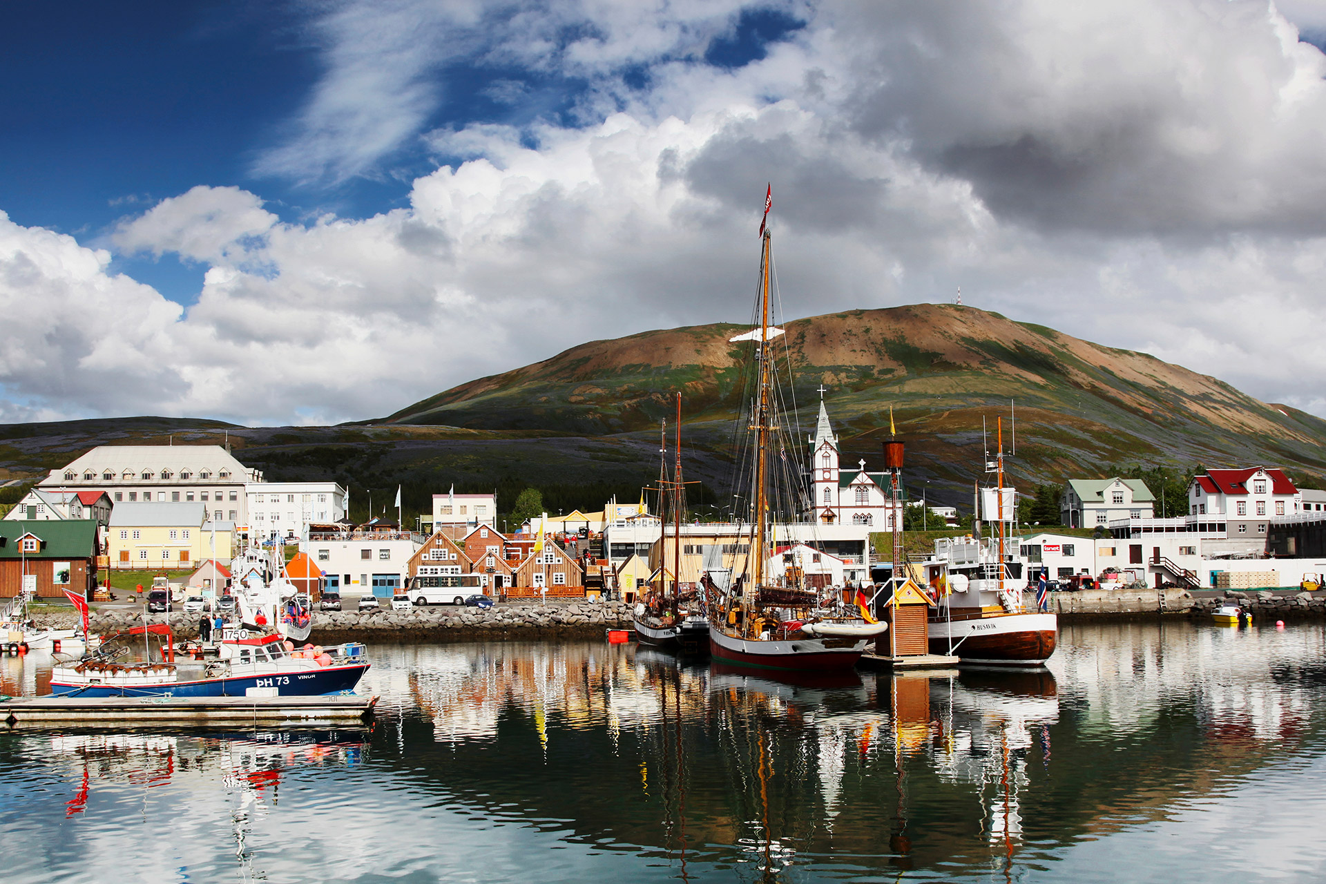
Húsavík is located in Skjálfandi Bay in the northern part of Iceland and has a community of over 2000 people.
The name of the town means “the Bay of Houses” and the legend says it was settled before 874 AD, even if this is the official date of settlement in Icelandic history.
The official date was established as the settlement date when Garðar Svavarsson who came out from Sweden stayed over the winter in Iceland in 874 AD.
When he left, he let a man and two slaves set a farm there and the legend says that the town was named after their houses in the bay.
An impressive building that differs from others in Iceland with its architecture and design is the Húsavíkurkirkja church. The church was built in 1907 and has a wooden structure.
Along with the church, there is the civic Museum for Culture and Biology where you can find a stuffed polar bear and many ancient boats that document the fishing and seafaring tradition in Iceland.
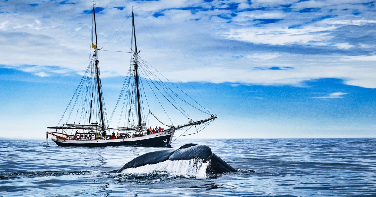
As I mentioned in the beginning, Húsavík is best known for whale watching and all the whale watching agencies there have a 100% rate of spotting the whales during summertime.
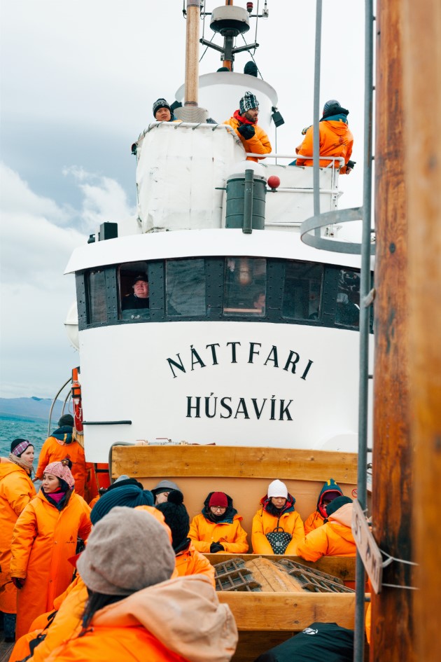
In the waters around Húsavík, you can spot Humpback whales which are the most common there, and also White Beaked Dolphins and Harbor Porpoises.
Together with all marine fauna, you will also spot different species of birds including the famous Puffin. So if you visit Húsavík during summertime those are some of the most popular activities there: the whale and puffin watching.
You will find a lot of restaurants and different kinds of accommodation in Húsavík. You can enjoy both delicious Icelandic dishes and breathtaking views over the Skjálfandi Bay from Húsavík.
Travelling along the bay from Húsavík, you will find Ásbyrgi Canyon which is located on the Diamond Circle and is a part of Vatnajökull National Park.
The canyon has a horseshoe shape and is 3.5 km long and 1.1 km in width with 100-meter-high cliffs.
Inside the horseshoe-shaped canyon, there is a woodland of birch and willow and it is a rare thing you will find in Iceland. The woodland has also other species of trees like spruce, larch, and pine.
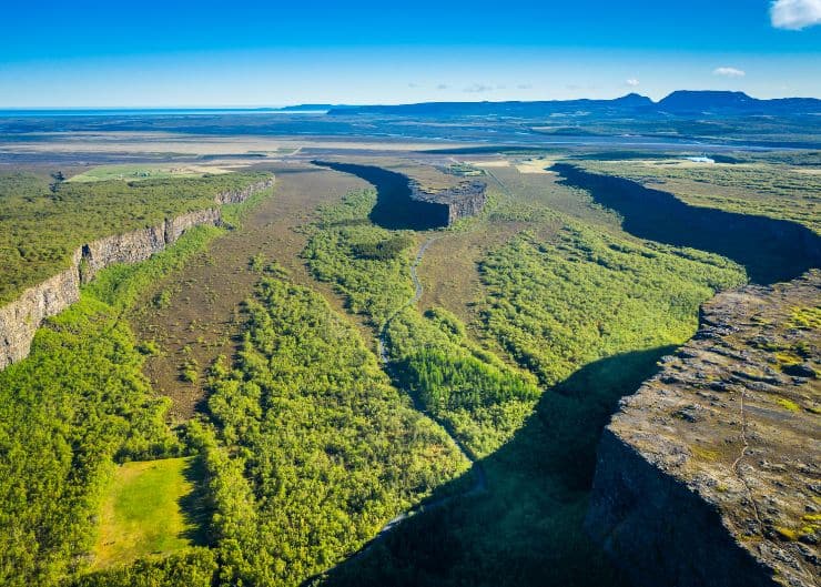
Ásbyrgi Canyon is a unique place in Iceland with interesting geology and geography. Inside the canyon, there is also a small lake named Botnstjörn that can be accessed through an easy hike and an island long for about 25 meters called Eyjan which means “The Island”. The island “rises” right in the middle of the canyon dividing it in the middle.
Like almost every place in Iceland, Ásbyrgi Canyon has also a folkloric story about how it formed besides the geological explanations. The scientific theory says that the Ásbyrgi Canyon formed after the last Ice Age about 8 to 10 million years ago.
In the same period, a volcanic eruption beneath the ice cap of the Vatnajökull glacier caused massive floodings on the river of Jökulsá á Fjöllum and contributed to the formation of the Canyon.
Most recently, about 3000 years ago the process repeated and sculpted the canyon to the form we see today.
The folkloric story of canyon formation says that Sleipnir which is Odin’s eight-legged steed while sprinting across the sky stepped on the earth with one foot leaving a deep “footprint” on the earth hence the horseshoe-shape of the canyon.
Also, many writings and art pieces recognize Sleipnir as being the creator of Ásbyrgi Canyon.
Other myths say that the Ásbyrgi Canyon is the home and capital city of the elves who live in the stones, cracks, and ravines inside the canyon. The only creatures that are living in the canyon woods are the Arctic Foxes.
Driving south from Ásbyrgi Canyon, on a secondary road, you will get to the most powerful waterfall in Europe, Dettifoss.
The water that fed the Detifoss waterfall comes from the glacier river Jökulsá á Fjöllum. This river has its origins in the largest glacier in Europe, Vatnajökull.
The average water flow of the Dettifoss waterfall is about 193 meters cubed (6,186 cubic feet) per second. The waterfall is 100 meters (330 feet) wide and then plummets about 45 meters (150 feet) into the Jökulsárgljúfur canyon.
Being fed by a river with origins in Vatnajökull National Park, the waterfall is also a part of the National Park therefore it is protected.
The beauty of Dettifoss inspired the producers of the movie “Prometheus” and the scenes filmed at the waterfall were about the beginning of the world. The majestic waterfall has also very photographed by professional and amateur photographers.
Down on the river, south of Detifoss Waterfall, you will find also Selfoss Waterfall.
All those adventures can be accompanied by delicious Icelandic and international meals in one of the many beautiful restaurants across the country. For Northern Iceland, we have some recommendations for you.
Northern Iceland is the most diverse and interesting part of Iceland and it is worth visiting. In this blog, I talked about the must-see places but Northern Iceland has many other gems that are worth seeing.
If you are visiting Northern Iceland tell us about your experience and what other gems have you found there. Follow us on social media and share with us your photos and videos.


