The Highlights of East Iceland
East Iceland is one of the most surprising places in Iceland. Like the Westfjords region, the east part of Iceland also has some impressive fjords that are known as being a bit isolated although there are many picturesque towns and landmarks to visit.
East Iceland is the home of some of the largest land mammals in Iceland, the reindeer. You will find many unique places in East Iceland such as the largest forest in Iceland or a waterfall with hot water. It is not a place to miss and we came to help you with a mini-guide through East Iceland.
Coming from the south of Iceland the first stop on the fine line between South Iceland and East Iceland is Stokknes Beach.
If you are a faithful reader of our blogs, you probably know already that I am always biased when it comes to Stokksnes as is by far my favourite place in Iceland. If you are new here, welcome!
I hope you will like our blog and you will stick around also for upcoming posts. Now let’s dive into the subject, the Stokksnes beach, and peninsula.

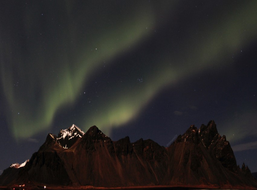
Located in East Iceland, less than a 20-minute drive to the east from the town of Höfn, the Stokksnes peninsula is a unique place, guarded by the majestic Vestrahorn mountains.
Even though the mountains are just 454 meters high (1490 ft), they give dimension to the landscape. At the foot of the mountains lies a wide black sand beach that is washed by the ocean waves.
The ocean waves that are washing the beach are creating a stunning mirror effect which many photographers are looking for.
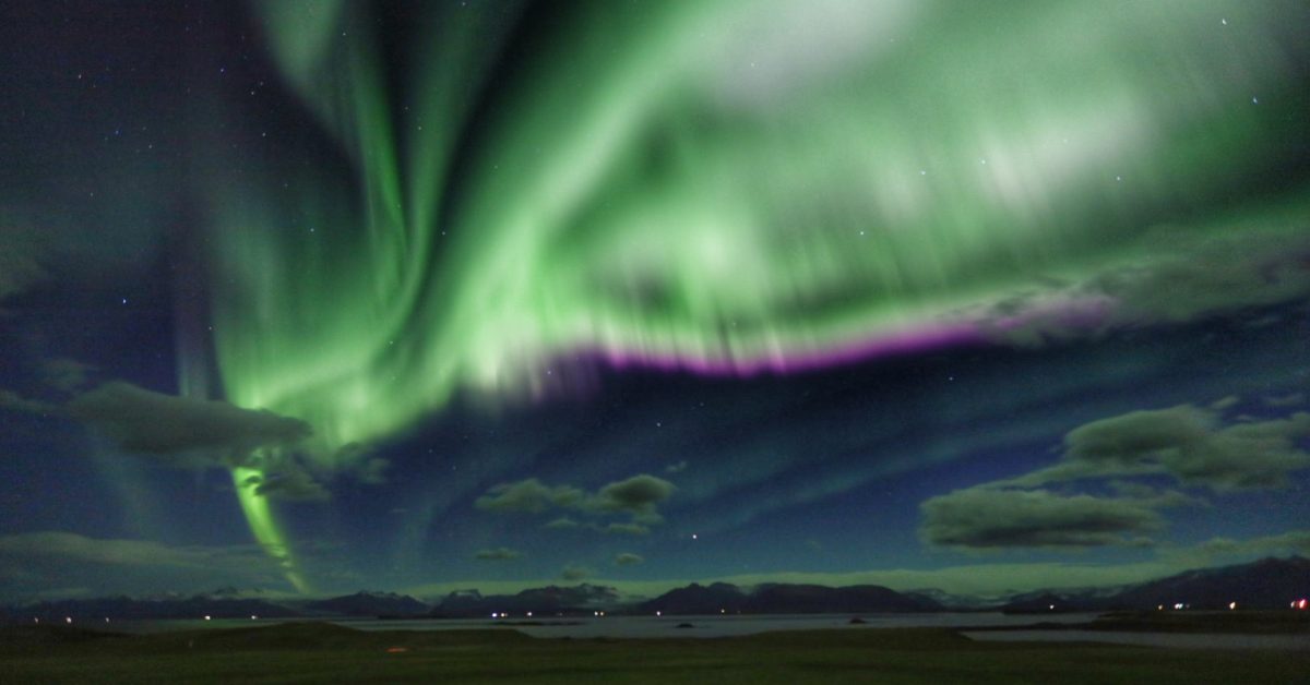
The place is less touristy and is also a photographer’s paradise as the whole landscape is changing its look under the midnight sun, the Northern Lights, the foggy clouds, and sunny days.
It is the place where the mountains, the beach, the ocean, and the sky meet together in a stunningly beautiful landscape. The photos can explain why it is my favourite place in Iceland.
The beach at the Stokksnes is private but you can get access to it in exchange for a small fee that helps the owner to maintain the road on and to the beach. Where you will pay is also a small cafe where you can stop as well.
The Stokksnes peninsula was also an important base for the British army during World War Two.
Stokksnes is accessible from Road 1 and it is one hour’s drive north from the Jökulsárlón glacier lagoon and less than a 20-minute drive from the town of Höfn.
Another famous mountain that is on every photographer’s list is Eystrahorn.
A geology masterpiece located in East Iceland that offers unique views over the ocean and over the mountains that are guarding the whole place is Hvalnes Beach and Eystrahorn Mountain.
Hvalnes means the Whale Point and the whole place is a rocky deadland with an orange lighthouse standing tall on the edge of the cliffs. The mountains that surround the area are composed of dark gabbro and pale granophyre that give the mountains some amazing colours.
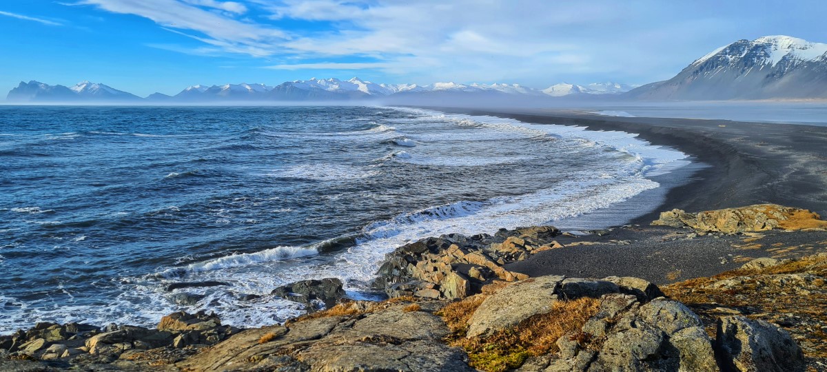
Hvalnes is a Nature Reserve due to its rich birdlife and flora. Near the rocky deadland, there is a strip of black sand beach that locks the water inside the bay and creates a lagoon where you will find different species of birds with lots of whooper swans gathering around during the summertime.
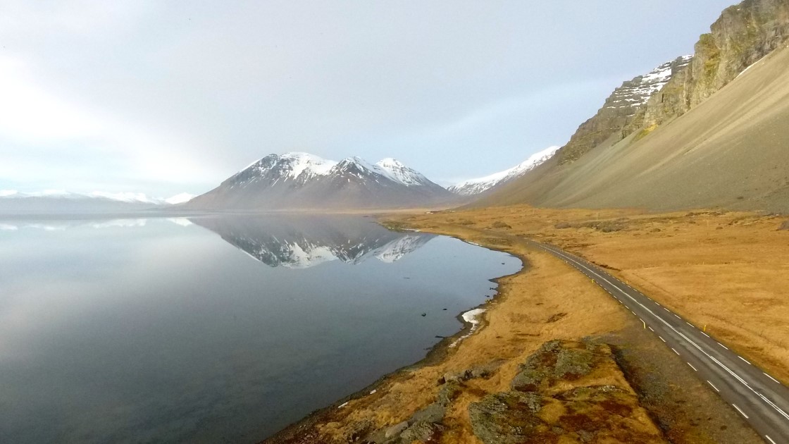
The beach and lagoon near Hvalnes is the perfect place for them to breed. The lagoon that forms in the bay due to the strip of black sand beach has clear untouched water which creates beautiful reflections of the surrounding mountains.
The entire place looks like the point where the sky is melting into the ocean.
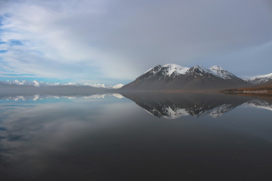
Hvalnes is guarded by Eystrahorn Mountain which is part of the Krossasnesfjall mountain range.
A beautiful mountain formation with different colour stripes that is always the subject of photographers who are crossing the Hrigvegur road to the East or South of Iceland.
Hvalnes and Eystrahorn mountain is located about a one-hour drive from Höfn and two hours from Jökulsárlón glacier lagoon.
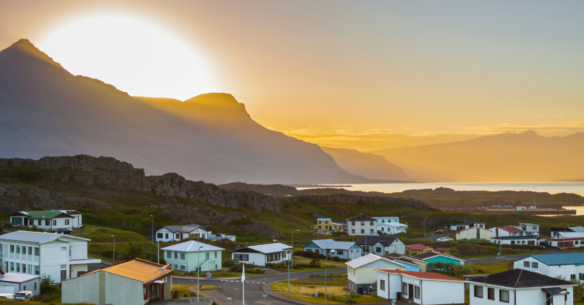
The next stop is the town of Djúpivogur is one of the first picturesque towns you will find in the East of Iceland. There are a lot of things to discover in this little town.
Djúpivogur is a traditional fishing town located in Hamarsfjörður fjord on the coast of the Búlandsnes peninsula in East Iceland. The town started to grow with the development of trade and for about four centuries it was an important trading centre in the area.
The written records of the trading character of the town date back to 1589.
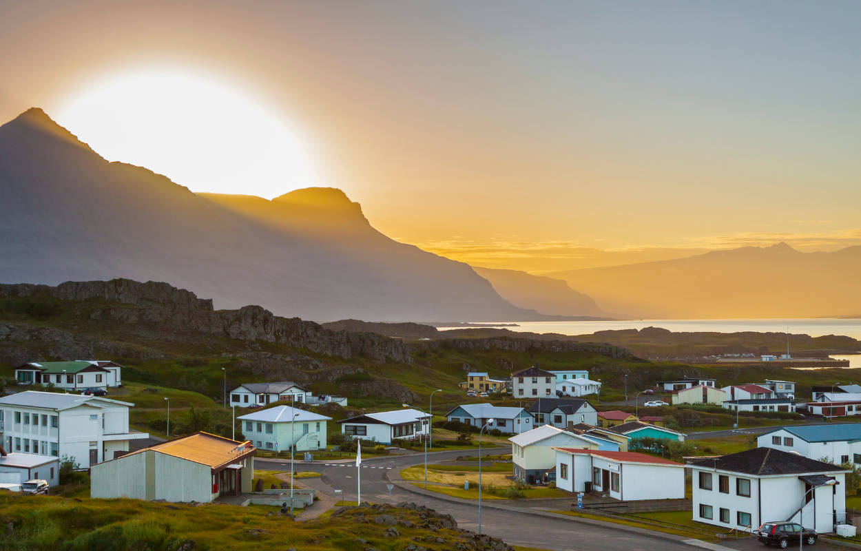
The oldest warehouse in Djúpivogur was built in 1790 and it still stands up and recently was renovated and is serving as a cultural centre that can also be found at the Heritage Museum. The entire commercial history of the town is explained and represented there.
Djúpivogur has many cultural features. Inside the cultural centre, there are some sculptures of the local artist Ríkarður Jónsson (1888-1977).
There are many museums such as the Whale Museum which was made by a local man who collected skulls, bones, and teeth from the whales that unfortunately ended up on the beach. He made different kinds of sculptures and decorations from the whale skeleton.
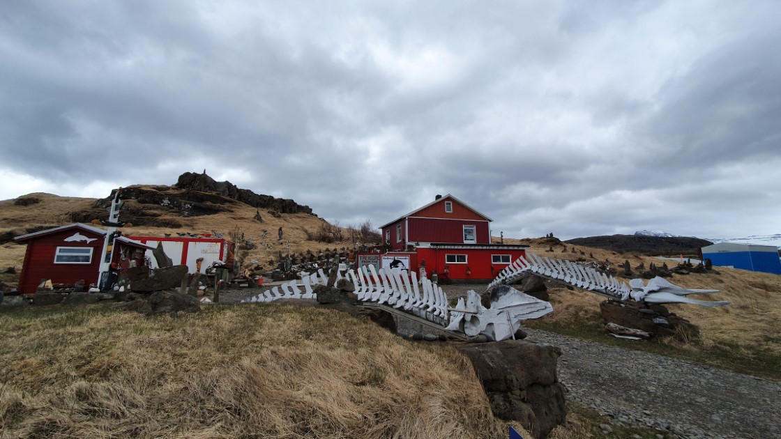
The town is also famous for its outdoor sculptures that represent the abundance of birdlife in the area. Sigurður Guðmundsson is the author of the sculptures and he named them “Eggin in Gleðivík”.
Another famous public artwork is ‘The Eggs of Merry Bay’ which is represented by replicas of eggs from 32 different birds that can be found in the area. This sculpture is aligned to the shore near the harbour.
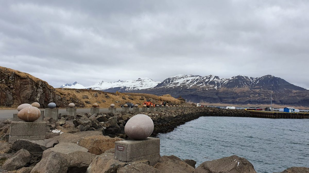
Djúpivogur can be seen on the other side of the bay Búlandstindur, a basalt mountain shaped like a pyramid with a height of 1069m.
The rare shape of the mountain designed some local stories and people think that the mountain can grant wishes during the summer solstice and they also believe that the mountain is an “Energy centre”.
In the past years, the little town of Djúpivogur started to develop its tourist infrastructure and is now a place to overnight for many tourists. You will find restaurants and hotels facing the bay and offering magnificent views over the fjord.
You will find Djúpivogur while driving on Road 1, 3 hours away from Höfn while driving East and about one hour south of Breiðalsvík.
Next, make a stop in the town of Egilsstaðir which is the unofficial capital of East Iceland.
Egilsstaðir is the largest municipality in East Iceland located on the banks of the Lagarfljót river. The community at Egilsstaðir is very progressive, hard-working, and environmentally friendly as the area has some special natural features that are pretty rare in Iceland.
The environment near the town is characterized by woods, which is a rare thing to find in Iceland. There are also many waterfalls, canyons lakes, and rivers that make the object of tourist attractions any time of the year.
The outdoor activities lovers can enjoy many hiking trails, walking routes through the forests, and open areas, as well as biking trails, swimming pools, and skiing areas.
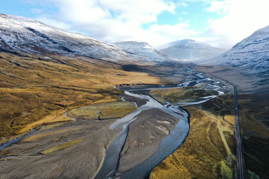
In the Fljótsdalshérað area, the local fauna is varied and birdwatching lovers can enjoy watching during the summertime a lot of bird species are nesting there.
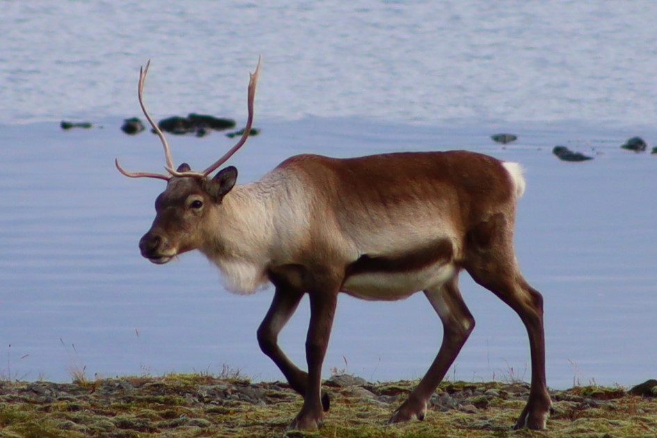
Also, East Iceland is the only area where you will find reindeer in Iceland and the area around Egilsstaðir is the perfect environment for them to live.
Besides the abundance of woods in the area there are growing also blueberries and mushrooms and many other small plants that bloom colourful during the summer.
The rivers near the area are perfect for fishing which is a traditional activity in Iceland. Even if we do not recommend doing this, the area is also perfect for hunting and many hunters across the country came here for this sport.
The town of Egilsstaðir is the main centre in East Iceland, being a hub for transportation, services, and administration for the surrounding areas.
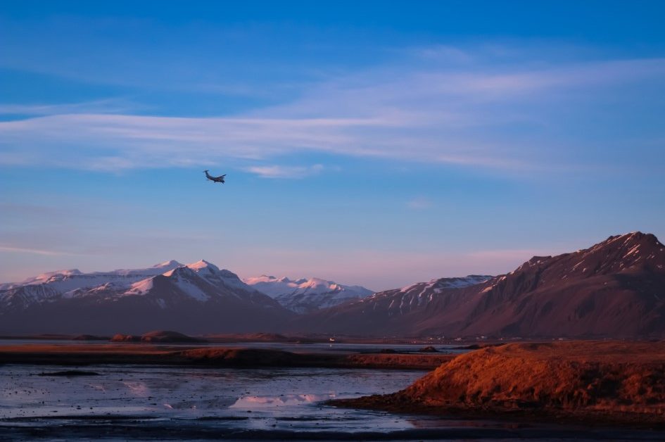
There is an airport in the town which is used for domestic flights. The community in Egilsstaðir has about 2,522 people (2020).
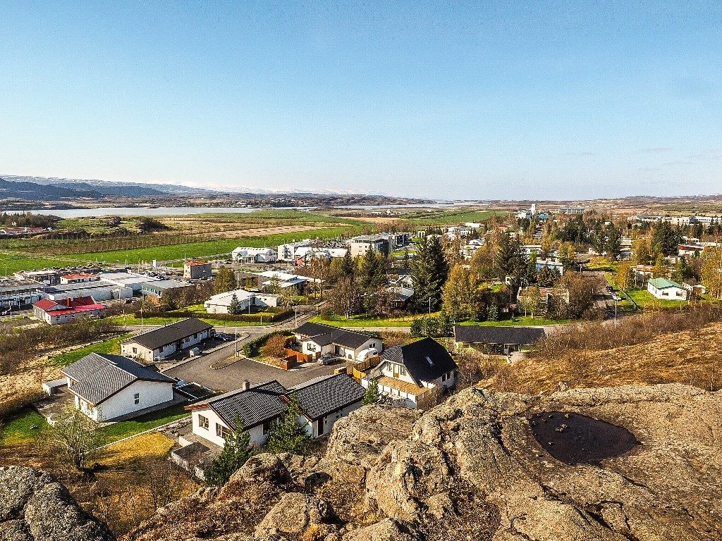
Even if Egilsstaðir is located in one of the remote areas in the country, the Eastfjords, the local community is vibrant and there are a lot of social and cultural activities to participate in.
You have plenty of choices in Egilsstaðir, you can enjoy music, art, and drama, as well as festivals that are held annually, and also you can enjoy visiting local museums and special exhibitions. You can feel the local vibe in one of the many restaurants, cafes, and clubs you will find in town.
Accommodations in Egilsstaðir are also varied, you can choose between cottages, hotels, campgrounds, or farm accommodations.
Put Egilsstaðir town on your bucketlist to visit a beautiful community and all the natural wonders in the area.
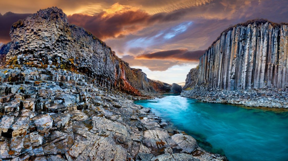
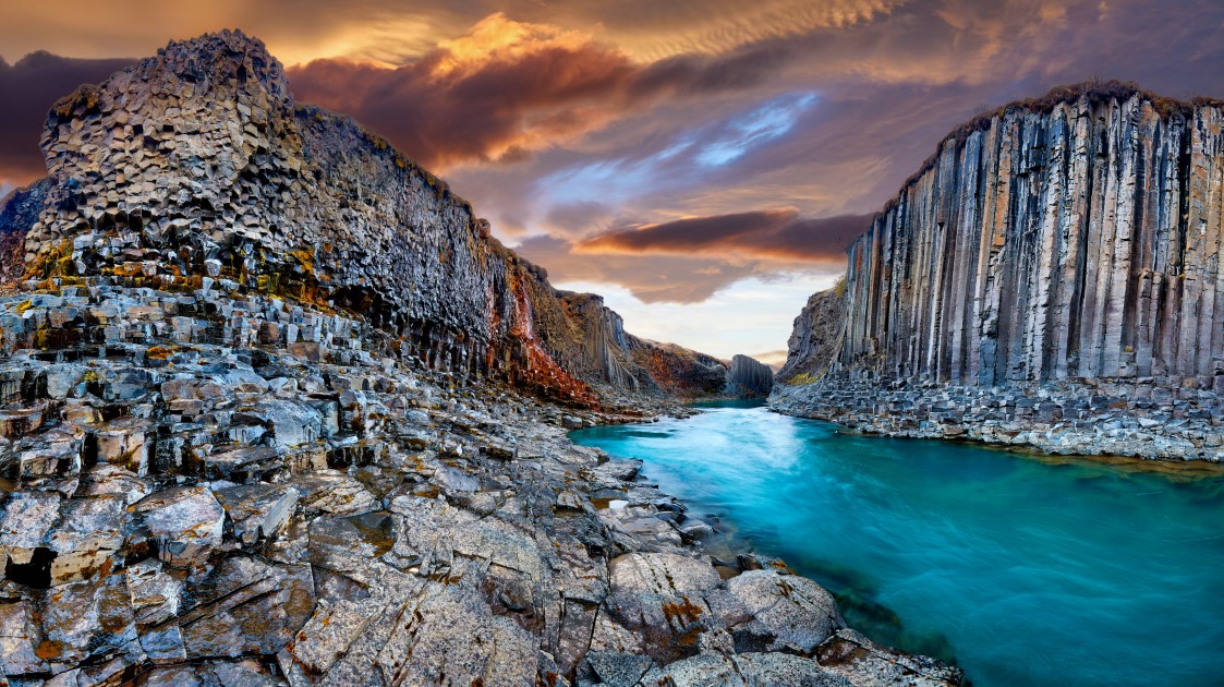
Stuðlagil Canyon, located near Egilsstadir, is one of the most Instagramable places in Iceland. With basalt columns alongside the blue waters, this place is beautiful beyond imagination.
How do you get to this place?
It depends on how close you want to get to the waters and how much time you have.
The easy way is to drive to Stuðlagil Canyon Parking and view the canyon from above. This parking spot is easily accessible but you cannot go down to the canyon from here.
If you want to go down to the canyon, you will have to stop at Stuðlagil Canyon’s east side carpark and go on a 4.5km hike down to the canyon.
One thing that you might like to take note of is that the water in the canyon is not always blue.
If it has been raining a lot, the water running through the canyon is probably brown. Also, it can be dangerous to go down to the canyon after much rain as the water level can get quite high.
A unique place in Iceland is Hallormsstaður forest, there are a lot of things you can do and see there.
Hallormsstaður National Forest is the largest forest in Iceland. The forest is located in East Iceland, 40 km away from Egilsstaðir town which is the largest town in the East.
Hallormsstaður forest covers an area of 740 hectares most of which is native birch. A forestry station was established in Hallormsstaður in 1903 and the forest was protected since 1905.
Not only is it the largest forest in Iceland, but it has about 80 species of trees and also various species of shrubbs. The forest is open to everyone and there are 11 marked trails. It is a perfect place for outdoor activities.
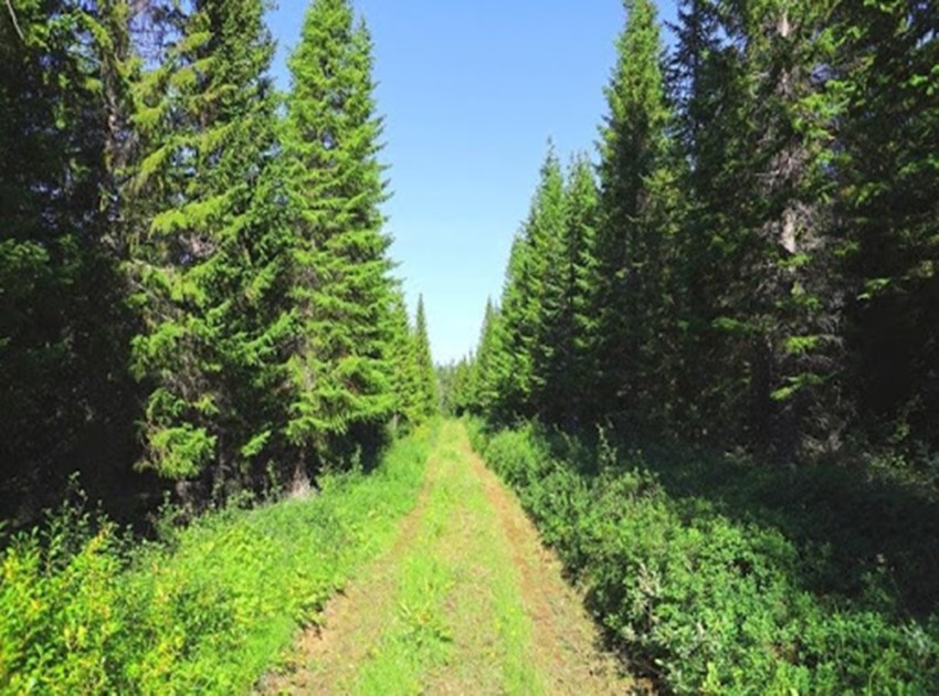
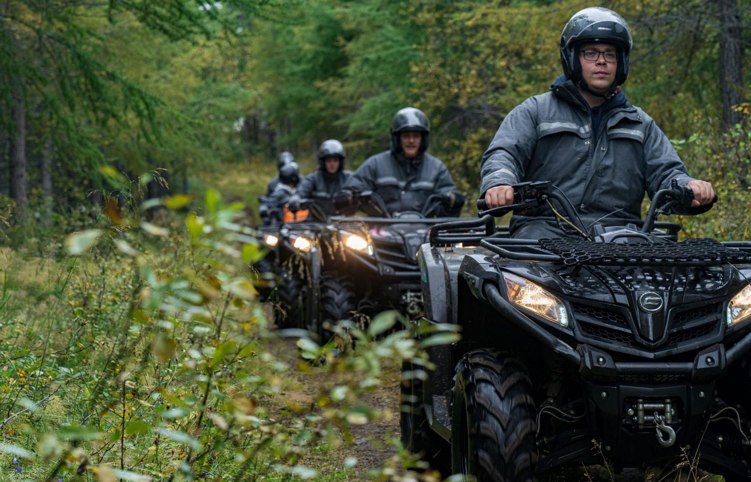
There are a lot of activities that can be done at Hallormsstaður, from hiking, walking, biking, going on ATV rides to camping, and enjoying exhibitions. There are two campsites in Hallormsstaður forest, one at Atlavík near Lagarfljót and one at Höfðavík.
If you want to camp there here are the GPS coordinates N65 05.369 W14 46.035.
Every year around the Summer solstice Iceland celebrates National Forest Day and in the Hallormsstaður forest, a competition for the Icelandic championship in logging.
All waterfalls are unique in Iceland and Hengifoss is worth the stop.
Hengifoss Waterfall is one of the most known waterfalls in East Iceland. It is the third highest waterfall in Iceland being 128 meters (420 feet). The waterfall is fed by the Hengifossá River and it runs to Lagarfljót lake.
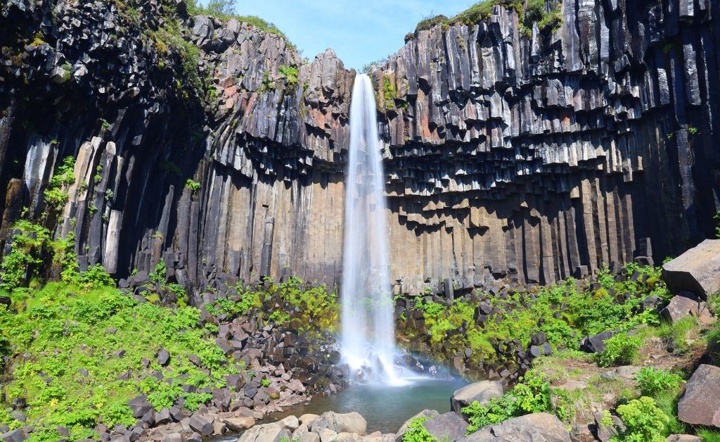
The thing that makes this waterfall unique is the cliff from where it falls. The basaltic strata of the cliffs have some layers of red clay that give the cliff a beautiful layered aspect.
The geologists have also found some fossilized trees which means that back in time in that area there was a forest.
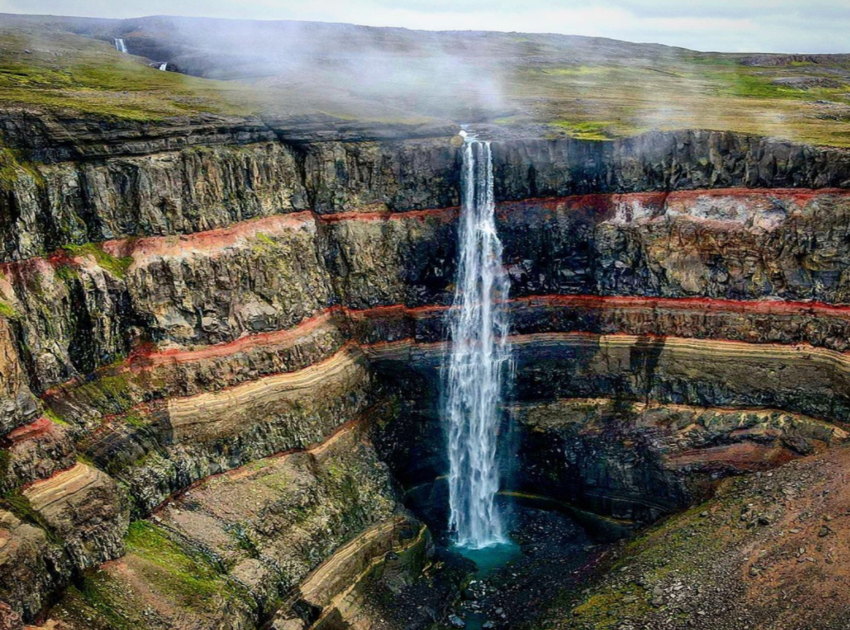
To get to the waterfall you have to hike and there is a trail from the parking lot which takes only 50 minutes to hike. On the trail, you will find a small waterfall named Litlanesfoss which despite its small dimension will impress you with the basalt columns around the wall where it is falling.
Hengifoss is close to Egilsstaðir town in East Iceland so if you are around you should go see this magnificent waterfall which is stunning no matter the season.
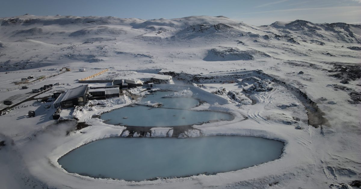
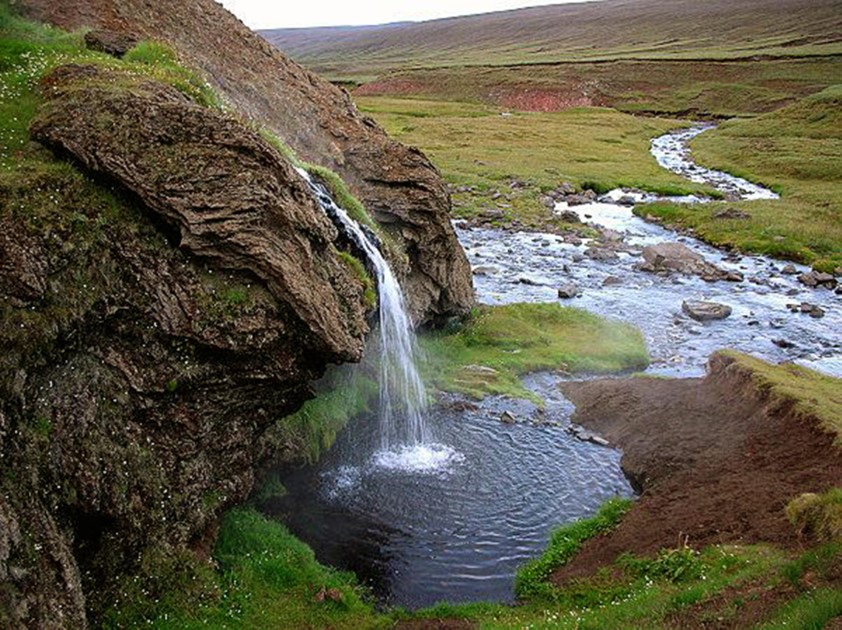
It is not a surprise that you will find a hot spring in East Iceland too, there are hot springs all over Iceland. But even so, each hot spring is unique and offers a different experience. Laugarvellir is located in the Highland area in the east of Iceland and is one of the most impressive.
It is not an ordinary hot spring because it has a tiny waterfall with hot water and a natural basin where people can enjoy a relaxing bath in nature. But for your safety, you should always check the water temperature before getting into a hot spring.
The hot spring is located in the Highlands of Iceland. The landscape around it is full of sand and volcanic ash from the past eruptions that happened nearby.
In the area where Laugarvellir can be found, there was a farm in the past. At the beginning of the 20th Century, a farmer built a house near the Highlands and wanted to live there.
The harsh soil conditions made it harder to grow plants or animals, and the conditions there were very tough to live in. His try to develop there a farm failed and because of the desperate conditions of living, the farmer took his life a few years after he moved there.
The poor farmer and his wife were the only ones who tried to live at Laugarvellir. Since then, the area has been wild and the only people that are going to that place are the people who came to take a bath there.
If you want to take a bath at Laugarvellir, you will need a 4×4 car since the hot spring is located deep in the Highlands and you will have to drive off-road.
From Egilsstaðir town, you have to drive south on Road 1 then after about 7 kilometres, you have to turn on Road 931 to pass the bridge and then to turn again on Road 933. From there, you have another 7 kilometres until you will find Laugarvellir.
Famous worldwide, the town of Seyðisfjörður is almost on every traveller’s bucketlist and it should be on yours too.
Guarded by Mt. Strandartindur and Mt. Bjolfur and having the entire fjord at its shelter roots unfolding to the ocean, Seyðisfjörður town is truly a gem in the Eastfjords.
With a community of about 700 people, they describe themselves as being a big family that is happy to welcome everyone who wants to discover their little picturesque town.

The town is surrounded by snowy mountains decorated with waterfalls and dramatic colours. On the other side, the fjord opens on a 17 km long lane to the ocean.
At another 17 km from the town, there is Skalanes a nature reserve that covers around 1200 hectares and serves as a hub for scientific and conservationist exploration. The area is rich in wildlife.
There are four species of Icelandic mammals, 47 species of birds, and 150 species of plants. There is a chance to see reindeer along the road and seals and porpoises on the shore.
The relief around the town consists of steep valleys that have caused avalanches throughout the history of the town and most recently some landslides destroyed a part of the town.
The avalanches that happened in 1885 when 24 people were killed and the one in 1996 destroyed two factories.
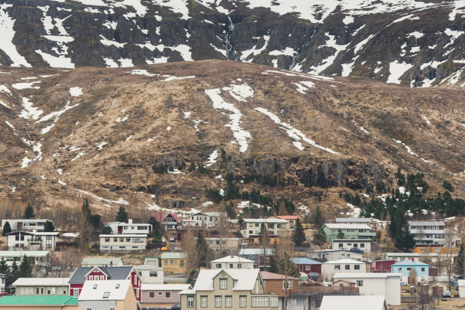
Due to its location, Seyðisfjörður town was a fishing town at the beginning and the industry grew together with the community. In 1848 the town was an important trading centre.
In the last years, the tourism industry started to grow as well and the town developed with many accommodation facilities, restaurants and many organized activities that everybody can enjoy.
The fishing industry led to the modernization of the harbour from where the ferry Norræna is operating transportation to Scandinavia.
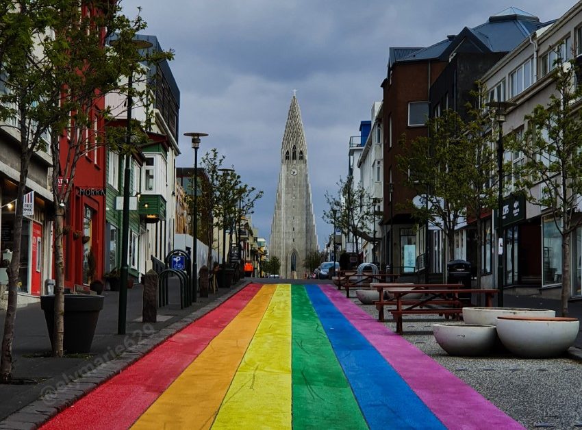
In the town, you will find some of the well-preserved old wooden buildings in Iceland. Maybe the name of the town won’t give you an image of it but the little town became famous on social media with its blue-painted church and the rainbow street that leads to it.
Seyðisfjarðarkirkja was brought to the town in 1920. On the sides of the rainbow street, there are a lot of restaurants and cafes where people in town and tourists as well are enjoying their time.
There is also an annual festival organized in the middle of July named “The LungA Arts Festival” and it is a celebration of youth arts. At the festival, you can see many workshops, exhibitions, a fashion show, and concerts.
A lot of cultural centres and activities can be found in the town of Seyðisfjörður such as the arts centre, the Technical Museum of East Iceland, and the only two cinemas in the east of Iceland.

All those adventures can be accompanied by delicious Icelandic and international meals in one of the many beautiful restaurants across the country. For Eastern Iceland, we have some recommendations for you.
You can travel to Seyðisfjörður on a Ring Road self-drive tour.
If you have used our mini-guide to East Iceland share your adventures with us on Facebook and Instagram. We can’t wait to see how was your trip.


