Grábrók Crater
The Grábrók Crater, standing at an impressive 170 meters (558 feet) above the ground level, is a remarkable geological formation that commands attention.
Belonging to the Ljosufjoll volcanic system, the Grábrók Crater is an integral part of the region that stretches from the northern Snaefellsnes peninsula’s Berserker lava field to the Ljosufjoll mountains and culminates in the awe-inspiring Grábrók craters.
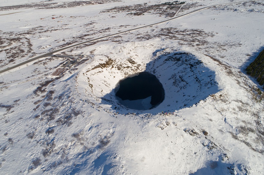
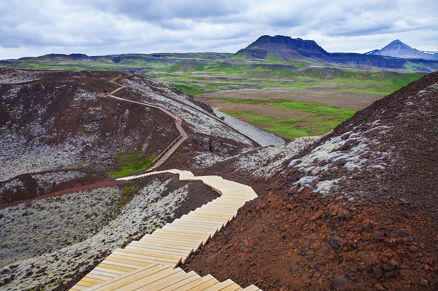
It boasts easy accessibility through a well-laid footpath, although with a steep incline that has been partially overcome by the construction of sturdy steps.
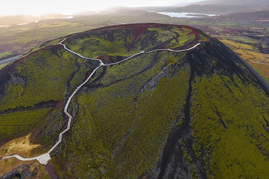
Grábrók Crater formed approximately 3400 years ago in an eruption that made it the largest crater among the three existing ones within the same volcanic fissure.
This fissure measures just 7 kilometres (4.3 miles) in length and has an average thickness of 20 meters (66 feet). During the latest eruption, the lava obstructed the course of the Norðurá River and redirected it eastwards along the valley.
The resulting lava, known as Grábrókarhraun, also blocked the valley, which eventually turned into Lake Hreðavatn.
There is a path that goes to the spectacular Grábrók Crater and the hiking from the parking to the crater and back takes about 40 minutes.
You can find Grábrók Crater in Nordurardalur Valley in the Northern part of the Snaefellsnes peninsula near the village named Bifrost (N64° 46′ 17.614″ W21° 32′ 23.370″).


