Múlagljúfur Canyon
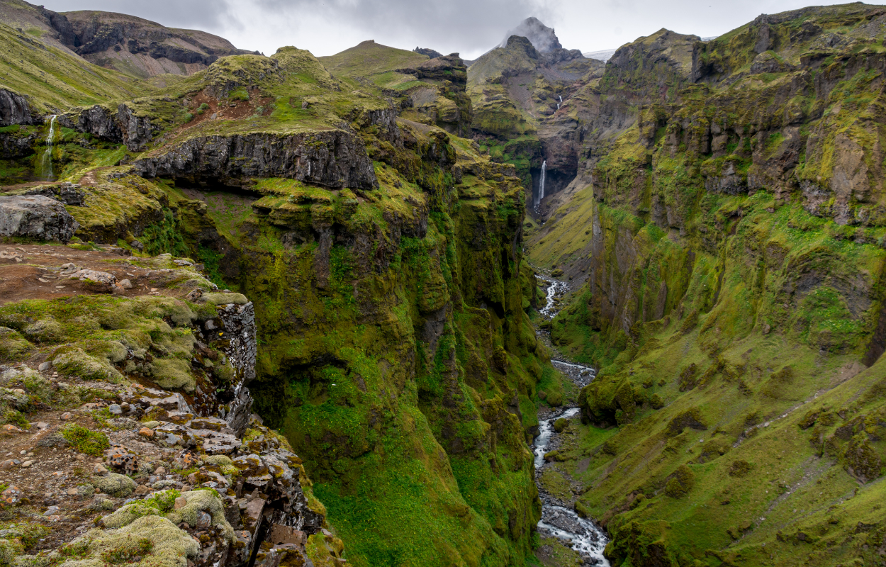
Múlagljúfur Canyon or ‘Mules Canyon’ a hidden gem in South Iceland
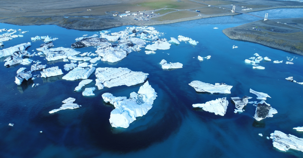
When visiting the South of Iceland, many people turn their attention to the most known locations like Black Sand Beach, Diamond Beach, or Jökulsárlón Glacier Lagoon.
But how about exploring some hidden gems like Múlagljúfur Canyon? Although many hidden gems in Iceland become popular, this one is not so known by tourists.
The location of the Múlagljúfur Canyon can be found on Maps if you type the name of the canyon or if you introduce these coordinates on GPS: 63.98877960616354, -16.394959472827694. Despite that, you won’t find any marks or indicators on the road that leads to the canyon.
The canyon is located near the Fjallsárlón lagoon, in the south part of the glacier tongue. If you go south from the Glacier Lagoon on Road 1 you will cross two rivers.
After the second river, you will find a gravel road on the right leading you to the parking area at the mountain’s base. The parking area is not marked but you will figure out that you can park there.
You will need a 4×4 car because that gravel road might be flooded by the river fed by glaciers or rainwater during summer and snow-covered during winter.
Although it might be an all-year activity, I would recommend going there during the summer or from May to September depending on the weather, because the path that leads to the top is a bit steep on some parts and if you are not careful it is possible to slip on the edge of the rock.
In some spots, the path is covered with rubble and can be very dangerous if it happens to slip. I would recommend also going there only if you have good knees and back.
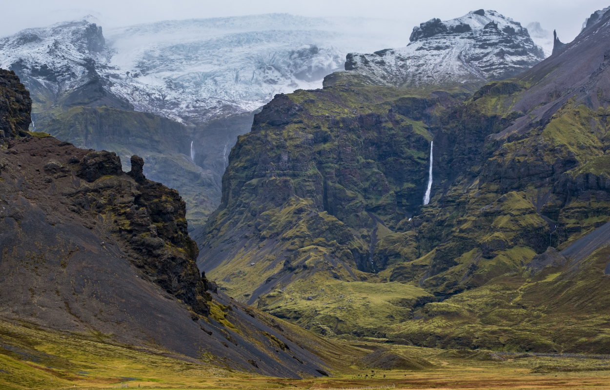
Once you get to the parking spot, you will see the path contoured right from the parking. The path is also marked with small sticks so if the path is not visible you have to look for the sticks.
Also, on the path can be roots, mud, and stones but nothing that is not manageable. On your way to the top, you will have to cross two small rivers that are quite easy to cross. Sometimes, those rivers might be bigger but you will still be able to cross them.
The hike will take about 35 to 60 minutes depending on your physical condition and depending on the weather. It is classified as a moderate difficulty hike but trust me, it will be worth all the effort.
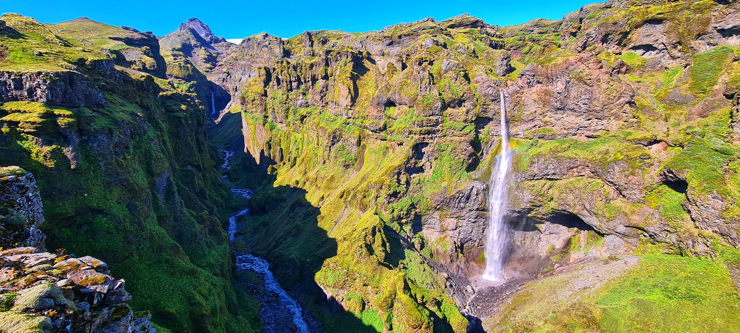
Following the path to the top, you will start to see a glimpse of the canyon showing up in front of your eyes. If you turn around you will have a panorama view of the Fjallsárlón lagoon and part of the glacier as well as a panorama view of the area of Jökulsárlón Glacier Lagoon and Diamond Beach.
Along the path, you will see the Múlafoss waterfall and while you are closer to the top you will see the Rótarfjallshnúkur peak (1.848m) guarding the whole canyon. You will spot a lot of birds flying from one side of the canyon to another and hear the sound of the waterfalls.
Be careful and do not go to the edge of the cliffs, do not step on the rocks as they are unstable and it is very dangerous. Also, respect nature and do not leave trash on the mountain. Do not risk your life for a photo! Sit down and enjoy the view!
You can do this hike on your own but I recommend taking your hiking buddy with you, not only for precaution, you will have fun together and you will need someone to take pictures of you. 😉


