Easily accessible day hikes to do in Iceland
Look no more for easy hikes in Iceland, we have recommendations for you. Iceland will impress you at every step, but the most breathtaking views are hidden in the beautiful nature.
If you are an adventurer but do not want to do it the hard way or you want to see beautiful places but your physical condition is not excellent, some hiking trails in Iceland are suitable for you.
Some of them are shorter, and some of them are longer but one day is sufficient to explore those places. Depending on the region in Iceland, you have some options for hiking trails below. There are many others but I selected the most interesting ones.
South Coast
Skogafoss
Difficulty: easy
Hiking time: 30 mins to 1 hour
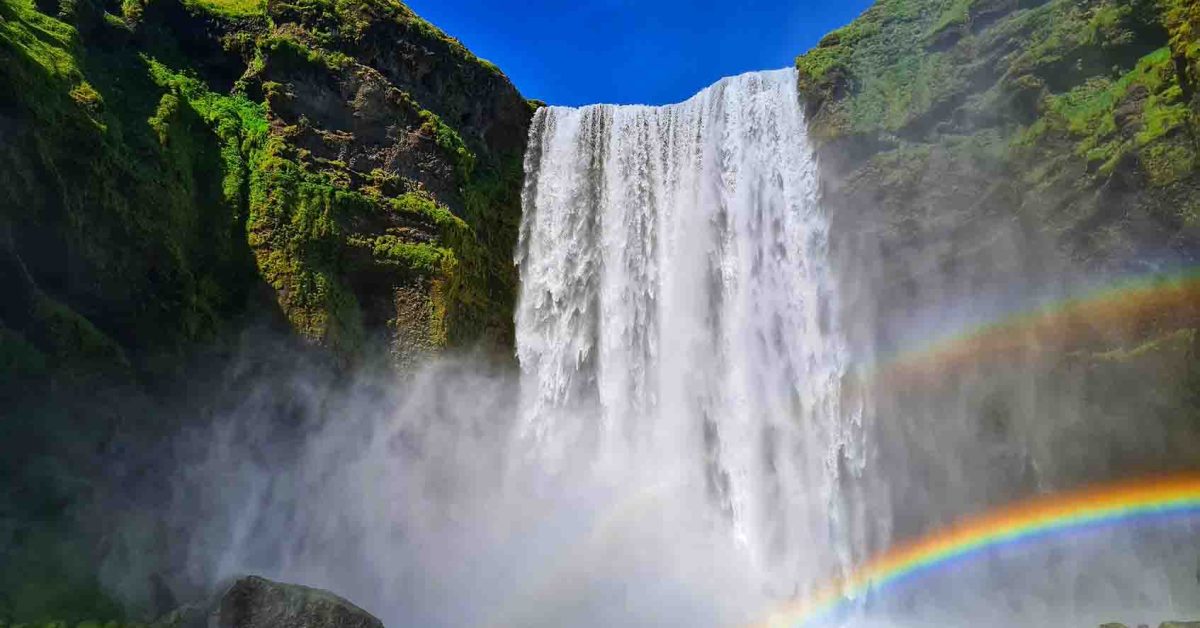
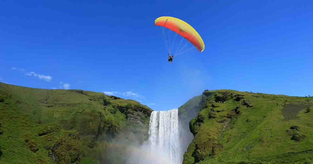
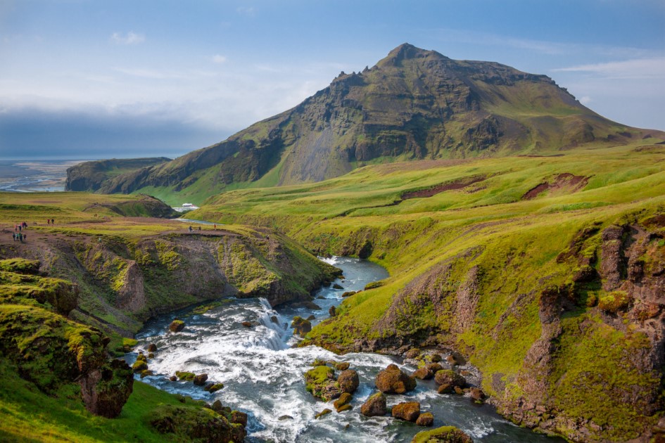
The majestic Skogafoss waterfall is probably the most famous in Iceland. When you get there, do not stay only in front of the waterfall; explore the landscape above the waterfall.
A hiking trail on the right side will take you to a Belvedere point and further into the mountains.
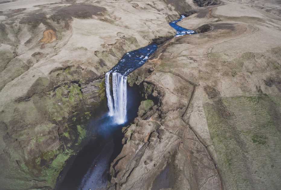
Skogafoss is also the starting point for a long trail to the Icelandic highlands, but we will talk in a future blog about this. (Check our website for the blog).
You can go further to the Belvedere Point to explore the gorge of the river Skógá. The plateau you will explore is on the Icelandic South shore.
Seljavallalaug
Difficulty: easy
Hiking time: 20 mins
Not only popular on Social Media but also in Iceland, Seljavallalaug is the oldest artificial geothermal pool. Its purpose was to be a place for kids to learn to swim. In 1923 locals built the swimming pool, and it has a width of 10 meters and a length of 25 meters.
Seljavallalaug was affected by the eruption of Eyjafjallajökull in 2010, and it was unavailable until 2011. The swimming pool is on the South Coast, and it is free to use. Near the swimming pool is a small building where you can undress and keep your clothes.
Once a year, a group of volunteers clean the swimming pool, and there might be some algae in the pool. You might not want to dip into the swimming pool if you have a sensitive immune system. Also, you will be alone there with no lifeguards or other staff, so you have to be careful.
To get to the Seljavallalaug, you should drive east on Ring Road. The swimming pool is located just some kilometres before getting to Skogafoss. From Ring Road, you have to take a left to Road 242 until you find the parking lot. From there, there is a short hike to the swimming pool. The area near the pool is easy to explore, and you will find many hot springs.

Kvernufoss
Difficulty: easy
Hiking time: 30 mins
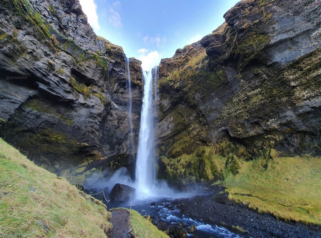
Kvernufoss is a hidden gem in South Iceland. It is close to the mighty Skogafoss waterfall that steals the shine in the area. That is the reason why Kvernufoss is less known.
The hike starts at the parking lot of the Skógarsafn Museum, and the path is visible on the grass field. On your way to Kvernufoss, you will have to cross over a fence that has a stair, so you don’t need to worry about this. The hike starts at the parking lot of the Skógarsafn Museum, and the path is visible on the grass field. You will have to pay around 500 isk for parking there.
Once you get closer to the gorge, you will see a glimpse of the waterfall hiding behind the gorge walls, but as you go further, the canyon opens up, and the beautiful Kvernufoss will delight your eyes.
You can walk behind Kvernufoss but be careful if you go there during the cold season; there can be ice all over the path near the waterfall.
Fjaðrárgljúfur Canyon
Difficulty: easy
Hiking time: 30 mins
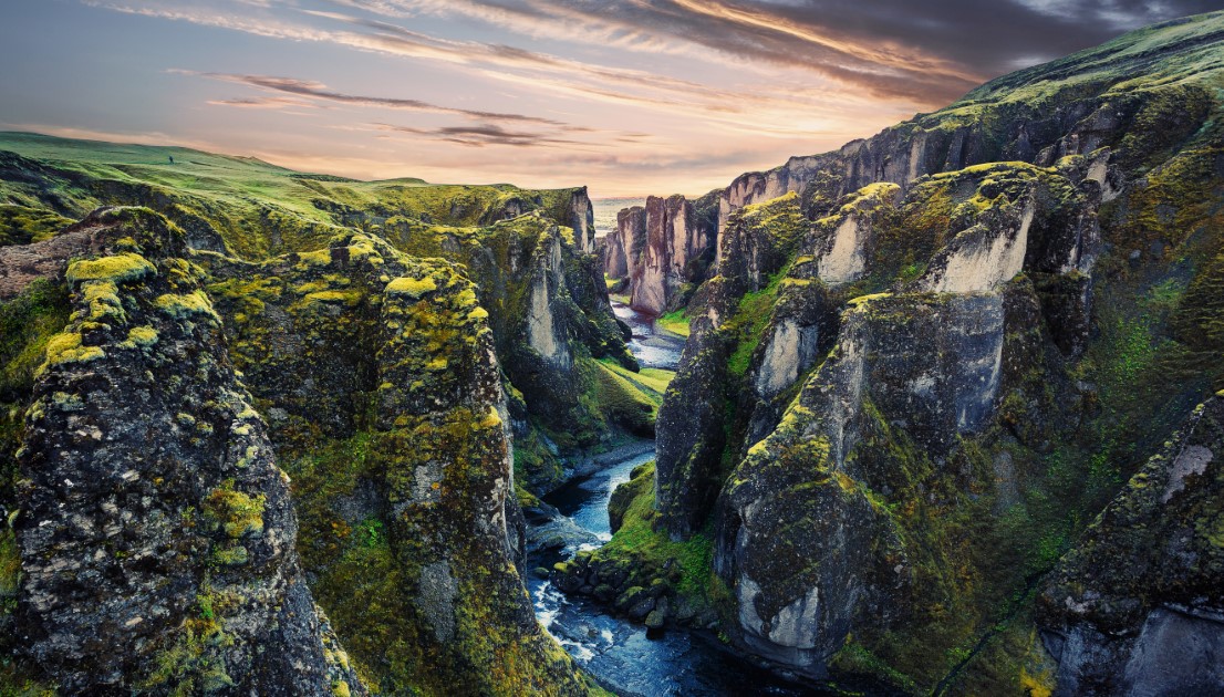
Fjaðrárgljúfur Canyon is one of the most impressive canyons in South Iceland, just 15 minutes North of the Ring Road. A gravel road will take you to the magnificent canyon. The road goes up to a hill but is doable also with a 2×2 car during summer.
After you get up to the hill, there is a parking lot to park your vehicle. The parking lot is the starting point from where you can take the hike along the canyon to the Belvedere platform. The walk is about 2 km along the canyon.
The hike is straightforward; even families with kids can do it. Fjaðrárgljúfur Canyon has the best views; the hike will be worth it.
Dyrhólaey peninsula
Difficulty: easy
Hiking time: almost one hour
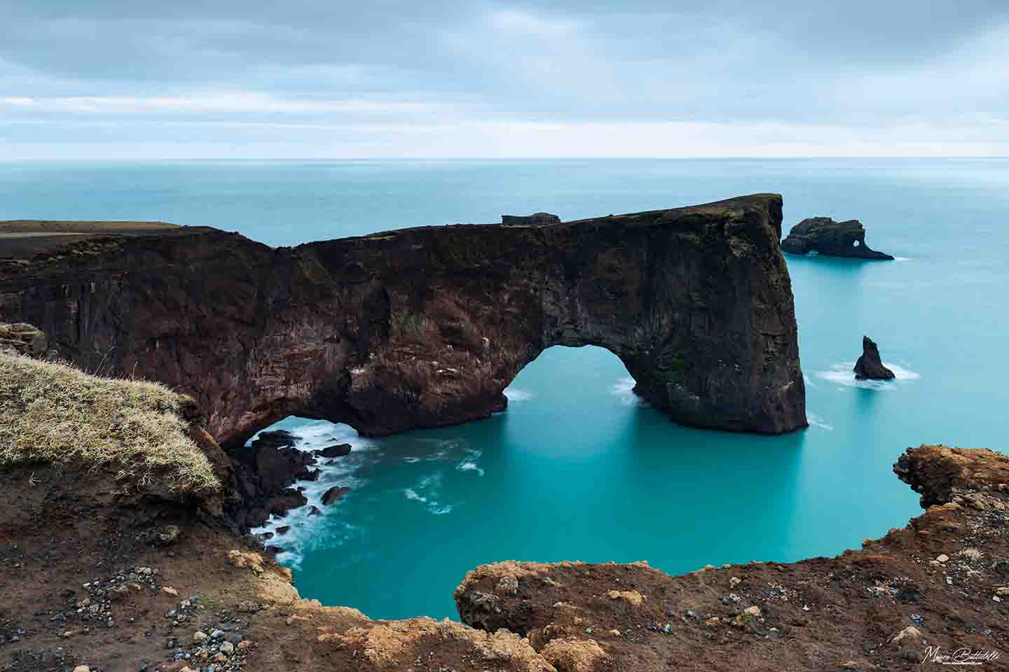
Back in the day, Dyrhólaey was an island that joined the Icelandic mainland. Driving east on Route 1, you will see an intersection and a sign which will lead you to the car parking at the base of Dyrhólaey.
From the car park, you have to hike up to the lighthouse. The path is also marked, so it will be easy for you to follow it.
I did this hike without having a good physical condition, and it was not so difficult. And worth it! The view up there is stunning. This is my favourite among the easy hikes in Iceland.
Please respect the safety signs and not cross over the chains; you will put yourself in a dangerous situation.
Múlagljúfur Canyon
Difficulty: Moderate
Hiking time: almost one hour
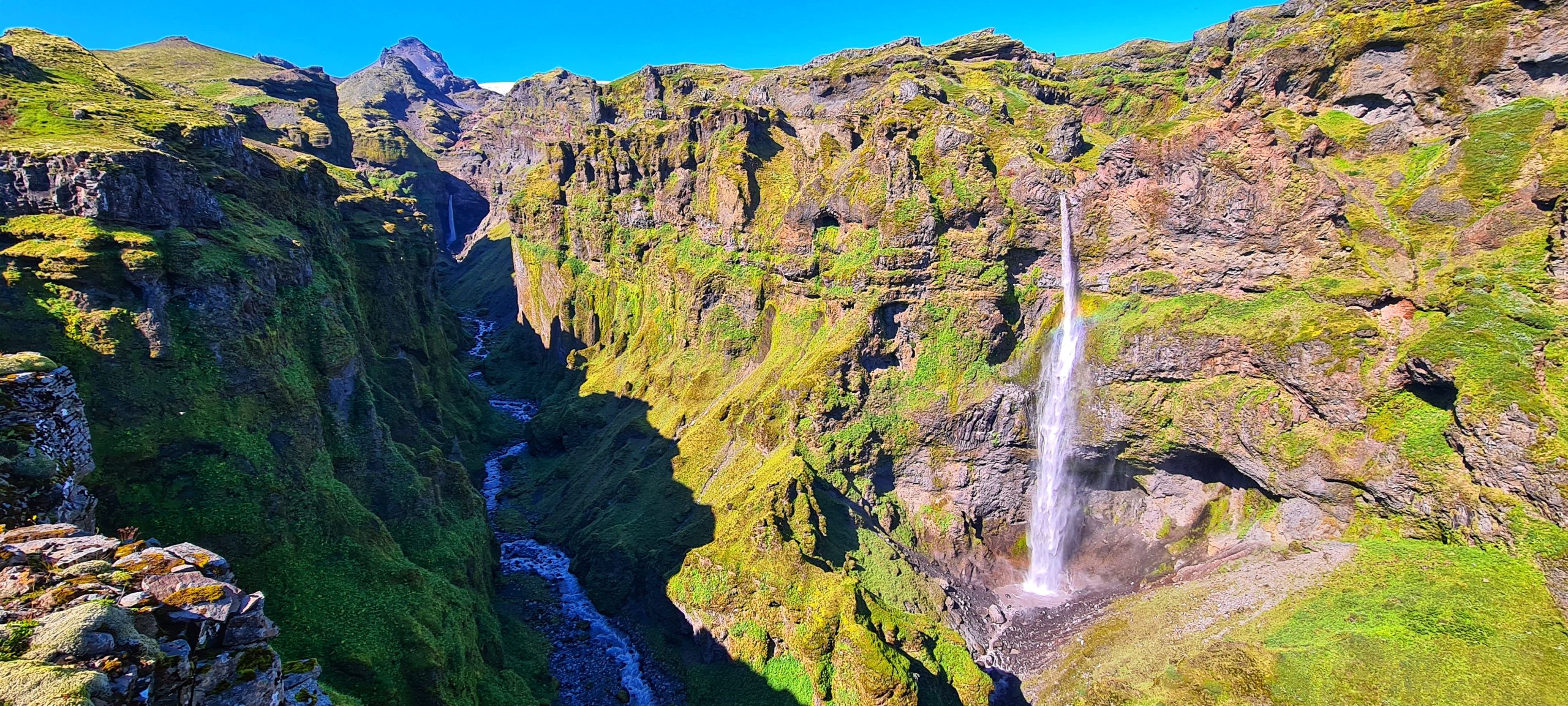
Múlagljúfur Canyon is my favourite day hike. Múlagljúfur Canyon is hard to find because it does not appear on Maps. But luckily, you found our blog; we have the coordinates of the canyon GPS: 63.98877960616354, -16.394959472827694.
Despite that, you won’t find any marks or indicators on the road that leads to the canyon. The canyon is near the Fjallsárlón lagoon, in the south part of the glacier tongue. You will cross two rivers if you go south from the Glacier Lagoon on Road 1.
After the second river, you will find a gravel road on the right that will lead you to the parking area at the mountain’s base. The parking area is not marked, but you will figure out that you can park your car there.
You will need a 4×4 car because that gravel road might be flooded by the river fed by glaciers or rainwater during summer and snow-covered during winter. Although it might be an all-year activity, I would recommend going there during the summer (from May to September) depending on the weather.
And that is because the path that leads to the top is a bit steep on some parts and if you are not careful it is possible to slip on the edge of the rock. The path is covered with rubble in some spots and can be very dangerous. I would also recommend going there if you have good knees and back.
Once you get to the parking spot, you will see the contoured path right from the parking. The trail is also marked with small sticks, so you have to look for the stakes if the track is not visible. Also, roots, mud, and stones can be on the path, but nothing is not manageable. On your way to the top, you will have to cross two small, accessible rivers to travel. Sometimes, those rivers might be more significant, but you will still be able to cross them.
Following the path to the top, you will see a glimpse of the canyon showing up in front of your eyes. If you turn around, you will have a panorama view of the Fjallsárlón lagoon and part of the glacier, as well as a panorama view of the area of Jökulsárlón Glacier Lagoon and Diamond Beach.
You will see the Múlafoss waterfall along the path, and while you are closer to the top, you will see the Rótarfjallshnúkur peak (1.848m) guarding the whole canyon.
I recommend not doing this hike alone; take your travel buddy with you.
Skaftafell Nature Reserve (Svartifoss and Skaftafellsjökull)
Difficulty: easy
Hiking time: 1,5 h
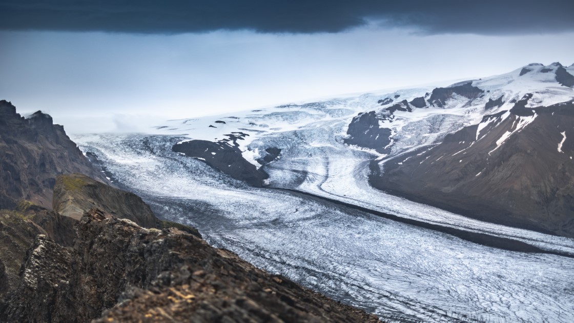
Skaftafell Nature Reserve is part of the Vatnajökull National Park. Vatnajökull glacier has many glacier outlets with spectacular views, and Skaftafellsjökull is no exception. More than that, once there, you will see other gems of Skaftafell Nature Reserve. Svartifoss is one of those gems.
The hiking trail to Svartifoss starts from the Visitor Centre in Skaftafell. You can also find information about the waterfall and the National Park; the hike will take about 45 minutes, about 1.6 km to the waterfall.
Along the trail to the waterfall, you will find three small waterfalls – Þjofafoss, Hundafoss, and Magnusarfoss. Near the Svartifoss waterfall, there is a small bridge across the river. The hike to the waterfall is free, but you will need to pay for parking at Skaftafell National Park.
The hiking trail to Skaftafellsjökull also starts from the Visitor Centre in Skaftafell, and it is marked until the last point. Half of the trail is paved, and the rest is covered with gravel. It is an easy hike, and you can come back on the same path.
The view over the glacier is fantastic. Take a sandwich with you and enjoy the view. Do not throw litter while on the trail; keep it with you until you get back to the Visitor Centre.
Reykjavik area
If you want to wander around Reykjavik, but nature is where you feel better, you can go hiking on these trails.
Mt Esja
Difficulty: Moderate
Hiking time: 2-3 h
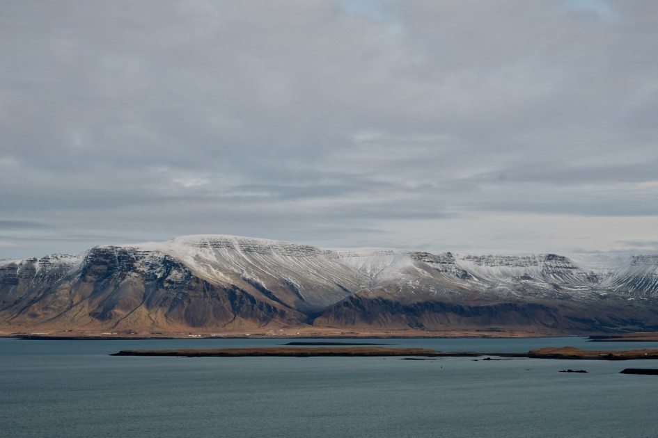
Mt Esja is 45 minutes away from Reykjavik. The hike is about 7 km (4,3 miles) long. You can get to Mt Esja by public transportation as well. So it is very accessible for everyone. Mt Esja is only 914 meters high; the trail is not very difficult. And once you get to the top, the extraordinary views over Reykjavik will be like an award.
It is one of the free things to do around Reykjavik and is highly recommended if you want something more than walking on Reykjavik’s streets.
Reykjadalur
Difficulty: easy
Hiking time: 1 h
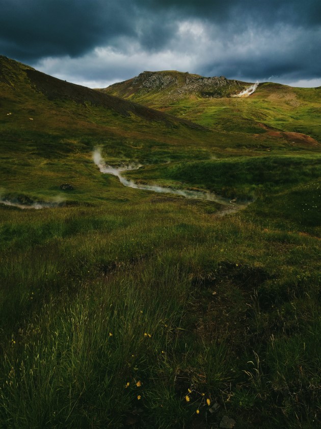
Iceland is blessed with geothermal springs all over the country. Reykjadalur is the closest natural spot to Reykjavik, and it is the best activity for summer. The hike to Reykjadalur is steadily ascending, but nothing that can not be manageable. Take some time to enjoy the warm water spots as well.
The hike is about 3 km on the go, and along the way, you will see many mud pots, hot springs and steaming vents. It is imposing. The place is free, and you can enjoy the warm water of the river. Along the river is a boardwalk from where you can get quickly into the river and leave your clothes there.
The more you walk up to the river, the hotter the water is. So be careful and respect the signs that say it is dangerous to dip there.
You can reach Reykjadalur by car; there is a parking lot, but if you want to find a spot, you should get early there. It is a busy place.
Glymur
Difficulty: Moderate
Hiking time: 2-3h
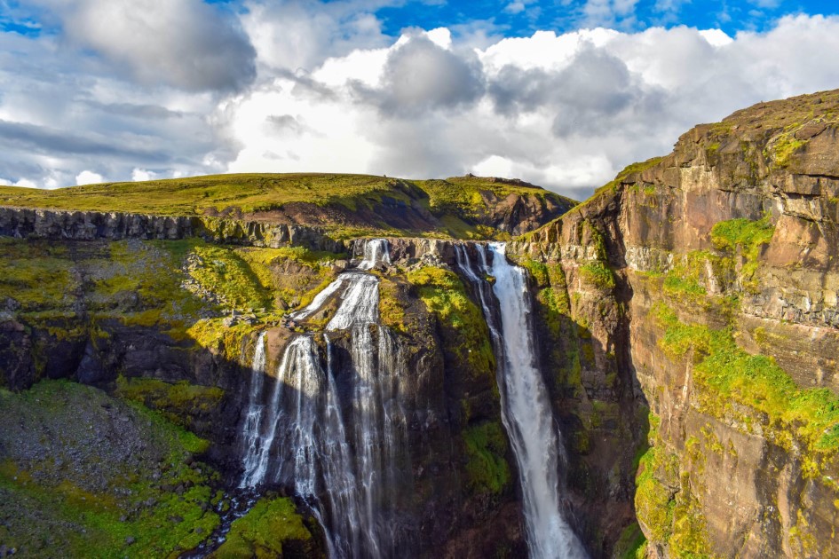
Glymur is the second tallest waterfall in Iceland, at 198 meters. It is only accessible by hiking, and it is recommended to go there during summer. It is safer. Being at a considerable height, the hike to the waterfall is not that easy, but the views at the end are worth the effort.
To get to Glymur, you have to pass through a cave and cross two rivers.
The hike starts from the parking area, and the path is visible. After crossing the second river, the trek will get you to the edge of the canyon’s cliffs. The views are stunning there.
Snæfellsnes peninsula
Arnarstapi
Difficulty: easy
Hiking time: 30-40 mins
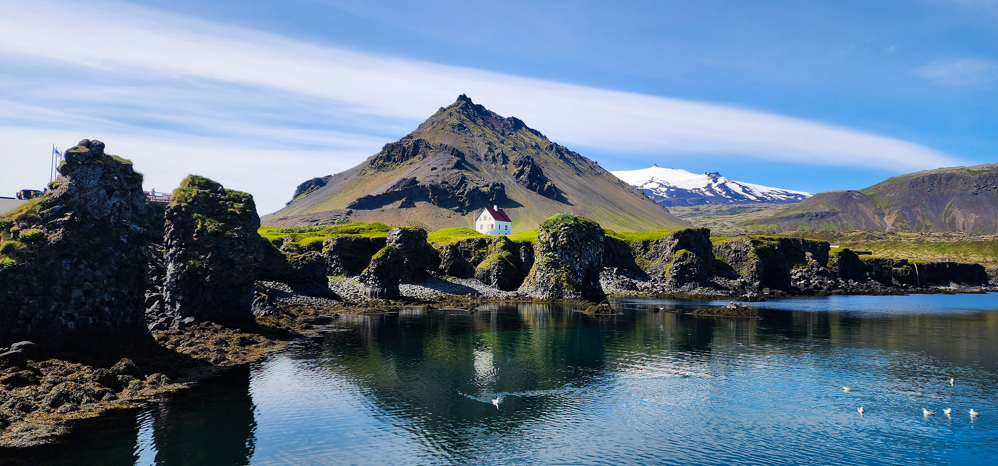
Arnarstapi is a beautiful fishing village located on the Snæfellsnes peninsula. This tiny fishing village has picturesque coastal cliffs derived from glowing magma hitting the wild waves of the Atlantic, known in Iceland as the most beautiful harbour in the country. Erosion has formed beautiful stone arcs and a remarkable marine geyser thousands of years later.
Once you arrive in Arnarstapi, leave your car in the parking lot and walk along the coast for some beautiful views. The path is about 5 km long, and you will see many arches and rock formations along the coast.
How to get there: After you visit Búdakirkja in the Snæfellsness peninsula, if you go all the way to the west, you will find Arnarstapi village. You can also visit Arnarstapi fishing village on a self-drive tour in Iceland.
Saxhóll Crater
Difficulty: easy
Hiking time: 1h
The Saxhóll crater is the best place to see the remains of an ancient volcano that once threw hot lava from the centre of the earth at its surface.
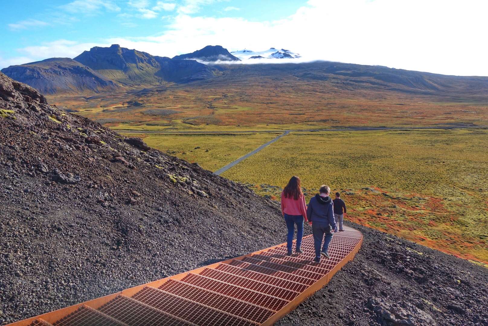
It is also the most accessible hike that will give you breathtaking views over the Atlantic Ocean, the Snæfellsjökull glacier, and the mossy lava fields around. The Saxhóll Crater is about 100 meters high, and the stair path to the top has 396 steps.
Saxhóll crater represented a tourist attraction from many years ago, and because of that, people created a path to the top of it. Over time, as the number of visitors increased, the materials on the trail started to deform the landscape.
An intervention has been made to protect the crate from any other damages, and some steel stairs have been put on the old path. The path was considered too steep, so the stairs made the hike easier.
To get to the Saxhóll Crater, if you are on a tour of the Snæfellsnes peninsula from Reykjavik, you have to circle the peninsula on the Útnesvegur (Nr. 574) road. You will find Saxhóll Crater on the left side of the road if you drive north from Djúpalónssandur beach.
Westfjords
Látrabjarg
Difficulty: easy
Hiking time: 30 mins-1h
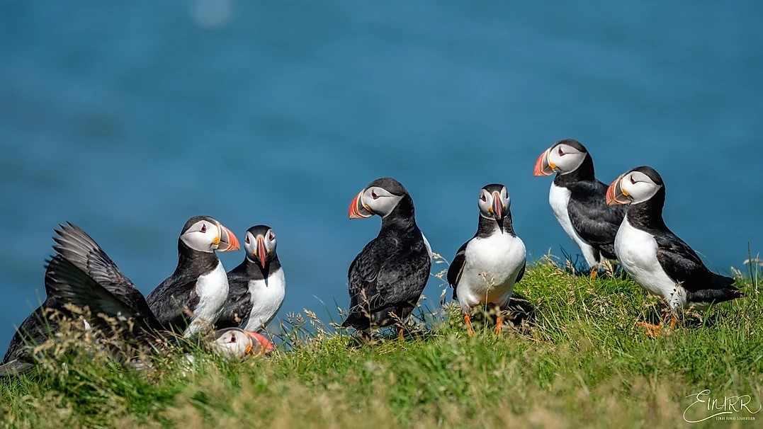
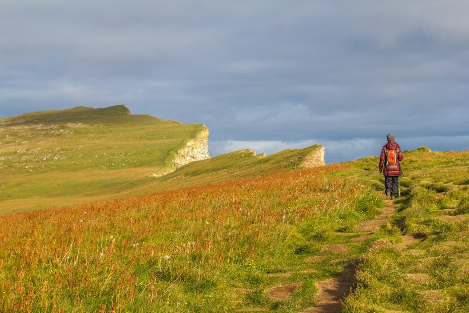
Látrabjarg is the largest bird cliff in west Iceland and one of Europe’s largest bird cliffs. The cliff is 441 meters high, and it has a length of 14 km. It is the best place to spot and photograph puffins and many other sea birds nesting there.
It is also the westernmost point in Iceland and one of the westernmost points in Europe. The sea bird life there is its most abundant point, lots of bird species are nesting there during the summertime, and one of the most famous of them is the Atlantic puffin.
Once on the cliffs in Látrabjarg, follow the rules and do not cross the safety white line drawn on the grass. The purpose of the line is to keep you safe and keep the puffin’s nests safe.
Puffins do not make nests like other birds we know; they dig holes into the cliffs up to 1 meter long and lay there just one egg. So the edges of the cliffs are like traps because of the underground cavities.
Follow the line and photograph the puffins from the designated place. You will see them very close so you can take amazing photos with your camera or even with your phone.
Látrabjarg is a remote place in West Iceland, but it can be accessed as it is the most visited place in Westfjords. There is a good road that will take you to the cliffs. There is no public transportation to visit Látrabjarg in a rented car.
If you are travelling from Reykjavik, drive to the town of Borganes, then after you pass by Glanni waterfall, follow Road One until you will see a second road on the left side, road 60. Follow road 60 to Patreksfjordur.
There you will see a turnoff to an unpaved road 612. Follow the road to its end for 45 km, and you will find the cliffs. During the summer, the place can be accessed with a 2WD, but during winter, you will need a 4X4.
Dynjandi
Difficulty: medium
Hiking time: 30 mins-1h
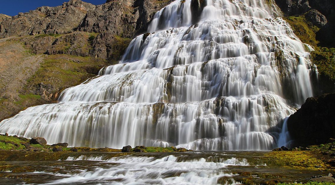
Located by Dynjandisvogur Bay and Arnarfjörður fjord in Westfjords, Dynjandi is fed by waters from lake Stóra-Eyjavatn which is 350m above sea level. This lake runs the Dynjandisá River, which can sometimes cause seasonal floods during spring and winter.
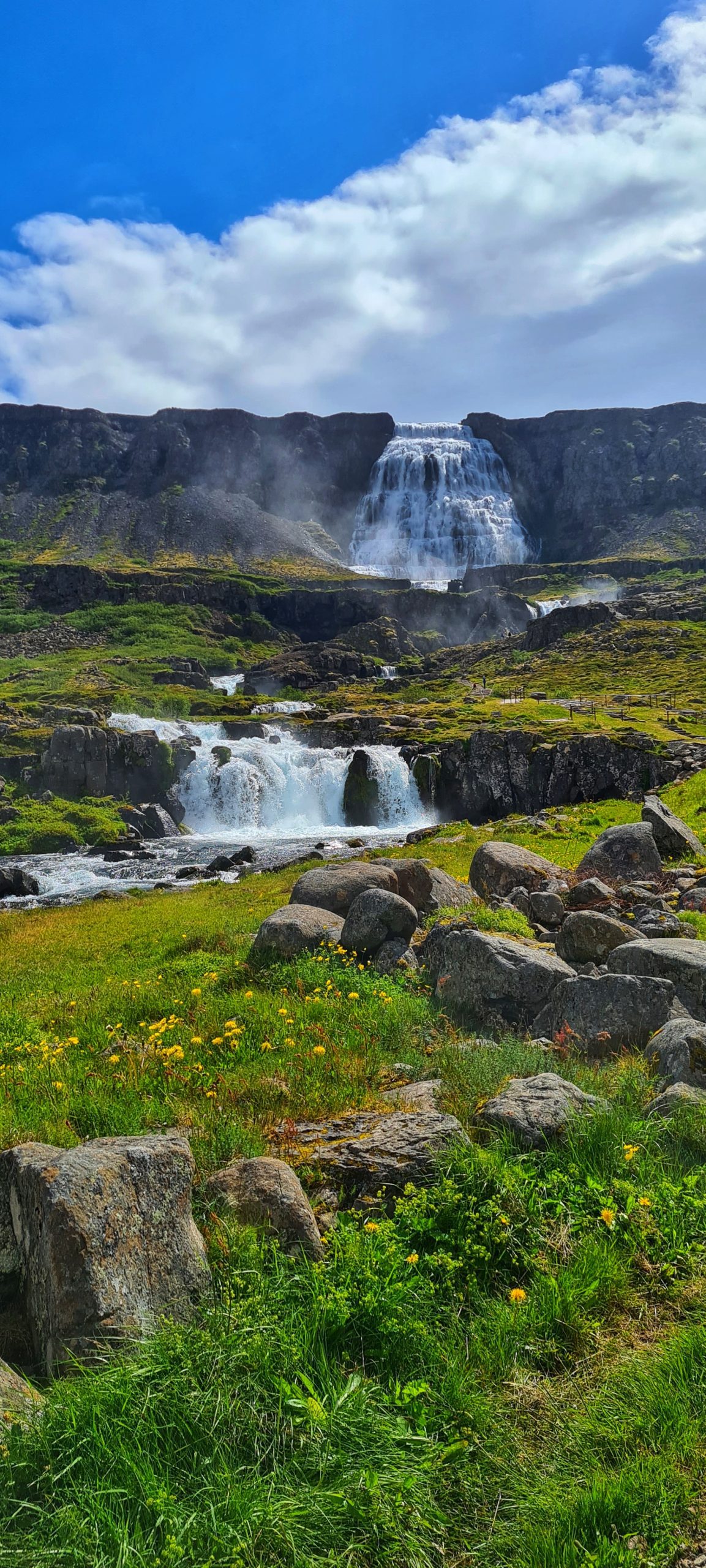
The waterfall has a trapezoidal form being 30 meters wide on top and widening to 90 meters at the bottom. On your way to Dynjandi, you will find another six small waterfalls. There are also a couple of smaller waterfalls above Dynjandi. I guarantee you that this will be your preferred one of the easy hikes in Iceland.
On the parking lot, where you will start your hike to Dynjandi, you will find a map and information about all the waterfalls existing along the way. You can stop to admire each one as there are appointed places with observation points.
To reach Dynjandi, you have to hike for about 15 minutes on a path made by volunteers in 1996. Bear in mind that the terrain is pretty steep, and if your knees are not in good condition, it will be hard for you to hike to the waterfall.
To reach Dynjandi from the south part as you come north from Reykjavik, you have to turn left from Route 1 to Route 60 and follow it to Westfjords. Then, when you get to the Dynjandisheiði heath, turn left to a gravel road to get to the bottom of the waterfall.
The drive from Reykjavik to Dynjandi waterfall takes about 5 to 6 hours. It is not recommended to drive it from Reykjavik in one go. Roads in the west fjords can be tricky during winter. Be sure to check the weather and road conditions beforehand.
North Iceland
Dettifoss
Difficulty: easy (but be careful)
Hiking time: 20 mins
Detifoss is the most powerful waterfall in Europe. To get to the waterfall, you can take one of the two paths. One will bring you to the east side, and the other will get you to the west side of the waterfall.
The hike will take you about 15 minutes and is a winding downhill hike to the top of the waterfall. You have to be careful not to fall because the path is covered with gravel, and you have to make your way through the rocks.
Also, there are no guardrails, so you have to be very careful. Do not approach the edge of the cliffs because it can be perilous.

East Iceland
Stuðlagil Canyon
Difficulty: easy
Hiking time: 20 mins
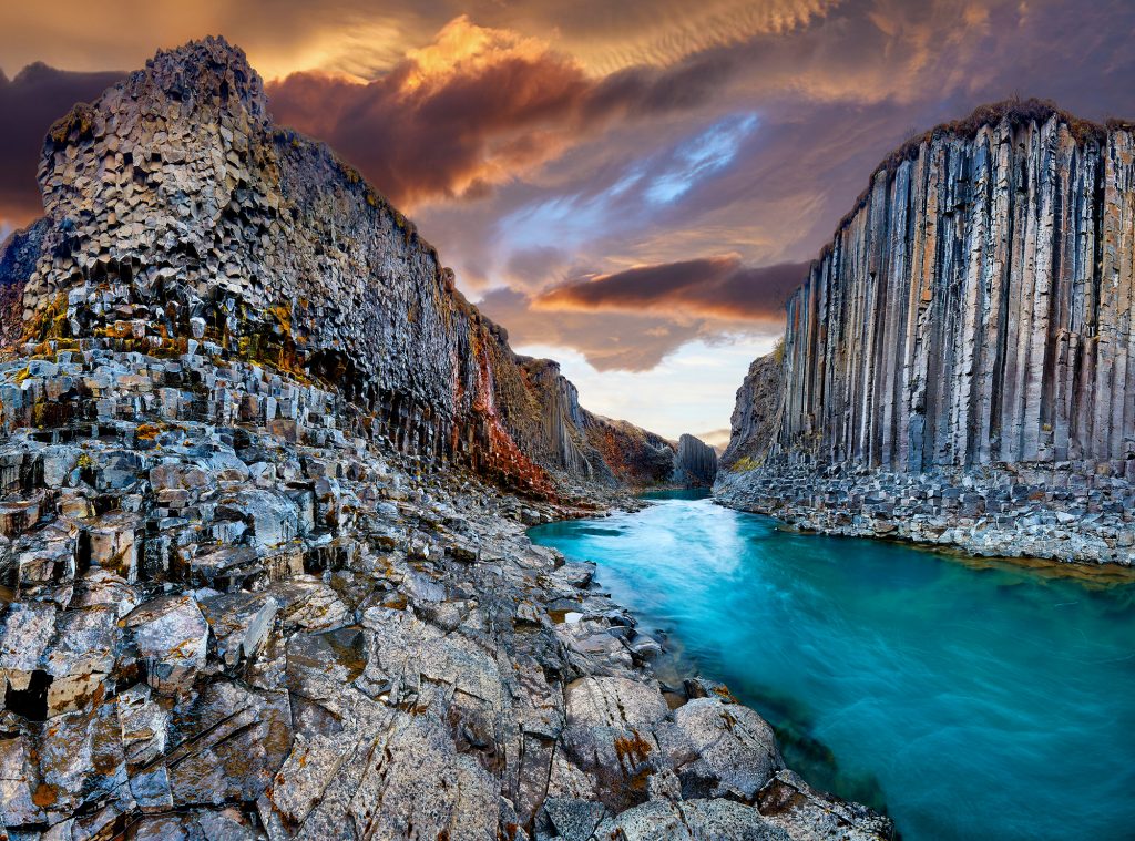
Another place you should put on your list of easy hikes in Iceland is Stuðlagil Canyon, located near Egilsstadir, and is one of the most Instagramable places in Iceland. With basalt columns alongside the blue waters.
The easy way is to drive to Stuðlagil Canyon Parking and view the canyon. This parking spot is easily accessible, but you cannot go down to the canyon from here.
If it has been raining a lot, the water running through the canyon is probably brown. Also, it can be dangerous to go down to the canyon after much rain as the water level can get relatively high.
If you want to go down to the canyon, you will have to stop at Stuðlagil Canyon’s east side carpark and go on a 4.5km hike down to the canyon.
Hengifoss
Difficulty: easy
Hiking time: 50 mins
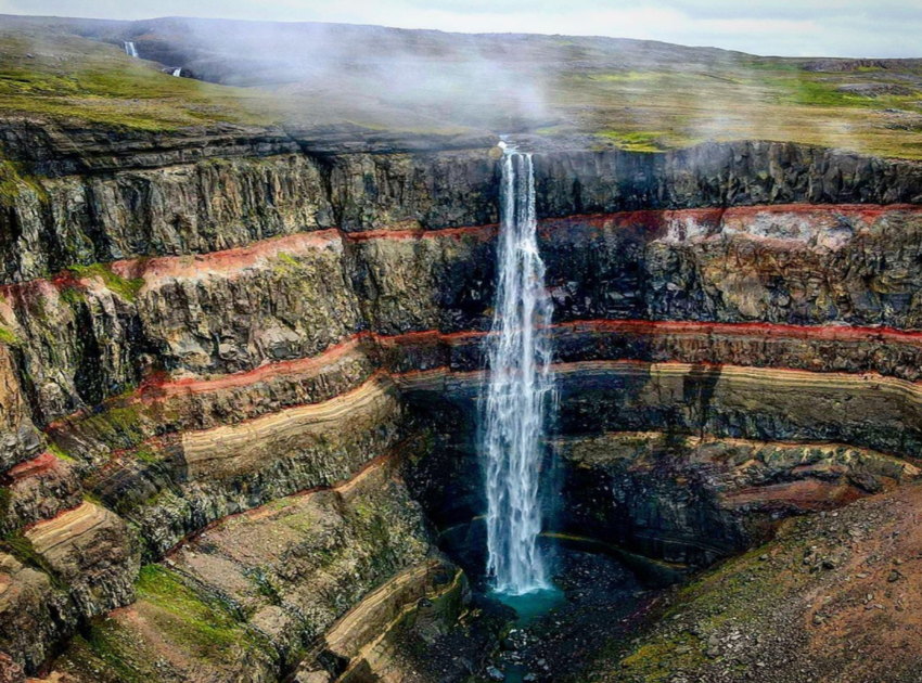
Hengifoss Waterfall is one of the most known waterfalls in East Iceland. It is the third-highest waterfall in Iceland, 128 meters (420 feet). The Hengifossá River feeds the waterfall, and it runs to Lagarfljót lake.
To get to the waterfall, you have to hike, and there is a trail from the parking lot, which takes only 50 minutes to walk. On the path, you will find a small waterfall named Litlanesfoss which, despite its small dimension, will impress you with the basalt columns around the wall where it is falling.
Hengifoss is close to Egilsstaðir town in East Iceland, so if you are around, you should see this magnificent waterfall which is stunning no matter the season.
The best things are wild and free, so are these beautiful places where you can do easy hikes in Iceland.
If you are going on one of those adventures, do not forget to share it with us on social media. Visit our website for more adventurous tours in Iceland.
